![](/images/other/stat-length.png)
![Randonnée Marche Poigny-la-Forêt - Sortie du 25/06/2015 - Photo](https://media.geolcdn.com/t/1900/400/ext.pjpeg?maxdim=2&url=https%3A%2F%2Fservices.sitytrail.com%2FGeolivesWS%2FDownloadMedia.ashx%3FTrailID%3D438058%26Media%3Dfix__20150625121933.jpg)
Sortie du 25/06/2015
microb
Utilisateur
![Longueur](/images/other/stat-length.png)
Longueur
12,5 km
![Altitude max](https://static1.geolcdn.com/siteimages/upload/files/1508320355ic_sort_altitude_max_24dp.png)
Altitude max
182 m
![Dénivelé positif](https://static1.geolcdn.com/siteimages/upload/files/1508320355ic_sort_den_pos_24dp.png)
Dénivelé positif
157 m
![Km-Effort](/images/other/stat-length.png)
Km-Effort
14,6 km
![Altitude min](https://static1.geolcdn.com/siteimages/upload/files/1508320355ic_sort_altitude_min_24dp.png)
Altitude min
136 m
![Dénivelé négatif](https://static1.geolcdn.com/siteimages/upload/files/1508320355ic_sort_den_neg_24dp.png)
Dénivelé négatif
167 m
![Boucle](https://static1.geolcdn.com/siteimages/upload/files/16400158638029165_repeat_loop_refresh_sync_direction_icon.png)
Boucle
Oui
Date de création :
2018-06-03 00:00:00.0
Dernière modification :
2018-06-03 00:00:00.0
![Marche](https://static1.geolcdn.com/sitytour/trail-icons/101.png)
3h13
Difficulté : Moyen
![Scannez ce code QR pour ouvrir la randonnée dans l'application SityTrail](https://capi.geolives.com/qq0zvz2zws4bq2lad0pu/sitytour/trails/438058/qr.png?size=200)
Application GPS de randonnée GRATUITE
À propos
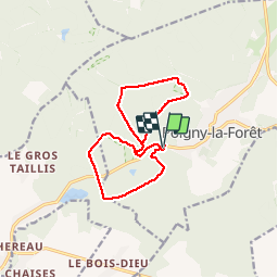
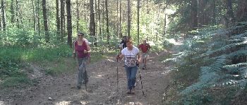
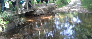
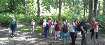
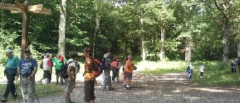
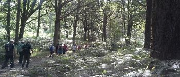
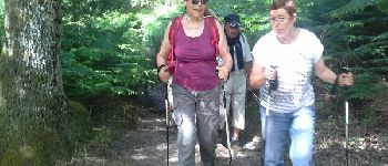
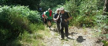
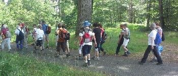
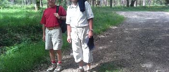
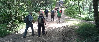
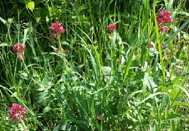
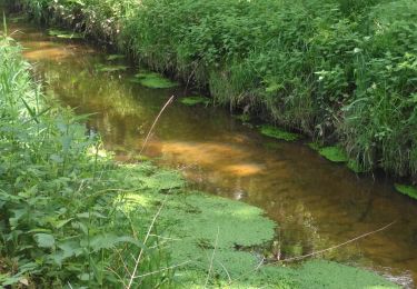
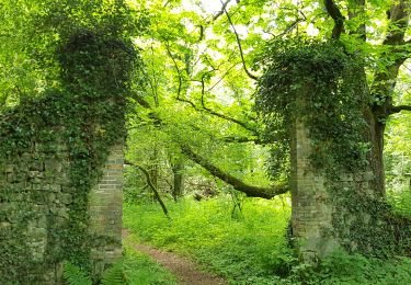
Randonnée Marche de 12,5 km à découvrir à Île-de-France, Yvelines, Poigny-la-Forêt. Cette randonnée est proposée par microb.
Description
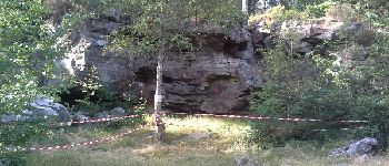
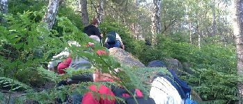
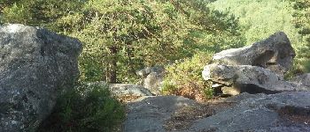
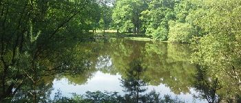
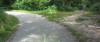
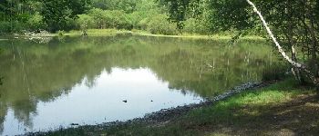
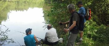
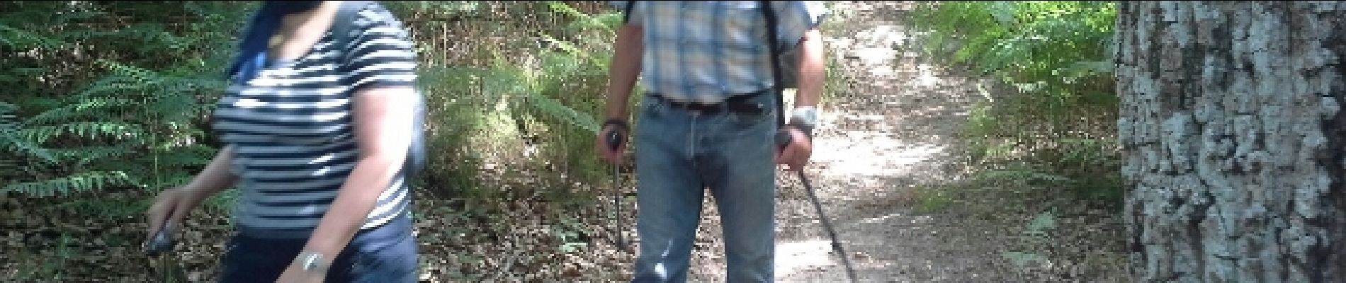
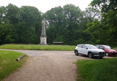
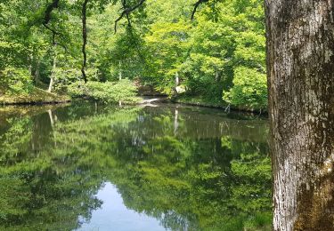
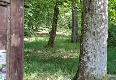
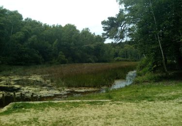
Sortie journée à Poigny la Forêt (Rochers d'Angennes, Petit Etang Neuf, Etang du Roi)et pour digérer après les agapes de l'Auberge du Bois doré : rando Plaine des Philis
Points d'intérêt
Localisation
Pays :
France
Région :
Île-de-France
Département/Province :
Yvelines
Commune :
Poigny-la-Forêt
Localité :
Unknown
Départ:(Dec)
Départ:(UTM)
407079 ; 5391819 (31U) N.
Commentaires
Randonnées à proximité
![Randonnée Marche Saint-Léger-en-Yvelines - Yvelines_Croix-Vilpert=>Rochers-d'Angennes=>Petit-Etang-Neuf - Photo](https://media.geolcdn.com/t/375/260/6d489e7d-9a8c-4142-91a9-ca62eb9af4d0.jpg&format=jpg&maxdim=2)
![Marche Marche](https://static1.geolcdn.com/sitytour/trail-icons/101.png)
Yvelines_Croix-Vilpert=>Rochers-d'Angennes=>Petit-Etang-Neuf
Marche
Moyen
(1)
Saint-Léger-en-Yvelines,
Île-de-France,
Yvelines,
France
![](/images/other/stat-length.png)
21 km | 25 km-effort
3h 35min
![](https://static1.geolcdn.com/siteimages/upload/files/16400158638029165_repeat_loop_refresh_sync_direction_icon.png)
Oui
![Randonnée Marche Poigny-la-Forêt - poigny - Photo](https://media.geolcdn.com/t/375/260/4048684d-3aec-49d6-ad34-88a4a7b23eb9.jpg&format=jpg&maxdim=2)
![Marche Marche](https://static1.geolcdn.com/sitytour/trail-icons/101.png)
poigny
Marche
Très facile
(1)
Poigny-la-Forêt,
Île-de-France,
Yvelines,
France
![](/images/other/stat-length.png)
13,9 km | 15,7 km-effort
3h 11min
![](https://static1.geolcdn.com/siteimages/upload/files/16400158638029165_repeat_loop_refresh_sync_direction_icon.png)
Oui
![Randonnée Marche Gazeran - 20190714 boucle Gazeran - Photo](https://media.geolcdn.com/t/375/260/ext.jpg?maxdim=2&url=https%3A%2F%2Fstatic1.geolcdn.com%2Fsiteimages%2Fupload%2Ffiles%2F1553511878bg_sport_marche.png)
![Marche Marche](https://static1.geolcdn.com/sitytour/trail-icons/101.png)
20190714 boucle Gazeran
Marche
Très difficile
(1)
Gazeran,
Île-de-France,
Yvelines,
France
![](/images/other/stat-length.png)
25 km | 30 km-effort
6h 28min
![](https://static1.geolcdn.com/siteimages/upload/files/16400158638029165_repeat_loop_refresh_sync_direction_icon.png)
Oui
![Randonnée Marche Poigny-la-Forêt - Rochers d'Angennes Yvelines - Photo](https://media.geolcdn.com/t/375/260/84e3942c-3b91-4957-8e21-15467325743e.jpg&format=jpg&maxdim=2)
![Marche Marche](https://static1.geolcdn.com/sitytour/trail-icons/101.png)
Rochers d'Angennes Yvelines
Marche
Moyen
Poigny-la-Forêt,
Île-de-France,
Yvelines,
France
![](/images/other/stat-length.png)
6,3 km | 7,6 km-effort
1h 58min
![](https://static1.geolcdn.com/siteimages/upload/files/16400158638029165_repeat_loop_refresh_sync_direction_icon.png)
Oui
![Randonnée Marche Poigny-la-Forêt - Poigny la forêt - Photo](https://media.geolcdn.com/t/375/260/b0786c16-338b-4af3-9f14-5f27a0350f88.jpg&format=jpg&maxdim=2)
![Marche Marche](https://static1.geolcdn.com/sitytour/trail-icons/101.png)
Poigny la forêt
Marche
Facile
Poigny-la-Forêt,
Île-de-France,
Yvelines,
France
![](/images/other/stat-length.png)
18,9 km | 22 km-effort
5h 13min
![](https://static1.geolcdn.com/siteimages/upload/files/16400158638029165_repeat_loop_refresh_sync_direction_icon.png)
Oui
![Randonnée Marche Gazeran - rouge gorgé poigny - Photo](https://media.geolcdn.com/t/375/260/ext.jpg?maxdim=2&url=https%3A%2F%2Fstatic1.geolcdn.com%2Fsiteimages%2Fupload%2Ffiles%2F1553511878bg_sport_marche.png)
![Marche Marche](https://static1.geolcdn.com/sitytour/trail-icons/101.png)
rouge gorgé poigny
Marche
Très facile
(1)
Gazeran,
Île-de-France,
Yvelines,
France
![](/images/other/stat-length.png)
10,7 km | 11,9 km-effort
2h 25min
![](https://static1.geolcdn.com/siteimages/upload/files/16400158638029165_repeat_loop_refresh_sync_direction_icon.png)
Oui
![Randonnée Marche Hermeray - Sortie botanique Hermeray - Photo](https://media.geolcdn.com/t/375/260/ext.jpg?maxdim=2&url=https%3A%2F%2Fservices.sitytrail.com%2FGeolivesWS%2FDownloadMedia.ashx%3FTrailID%3D273712%26Media%3Dfix__20140504114450.jpg)
![Marche Marche](https://static1.geolcdn.com/sitytour/trail-icons/101.png)
Sortie botanique Hermeray
Marche
Facile
Hermeray,
Île-de-France,
Yvelines,
France
![](/images/other/stat-length.png)
3,3 km | 3,6 km-effort
2h 47min
![](https://static1.geolcdn.com/siteimages/upload/files/16400158638029165_repeat_loop_refresh_sync_direction_icon.png)
Oui
![Randonnée Marche Poigny-la-Forêt - poigny la foret - Photo](https://media.geolcdn.com/t/375/260/26b13f85-72b2-4812-8f77-9a89412e190e.jpg&format=jpg&maxdim=2)
![Marche Marche](https://static1.geolcdn.com/sitytour/trail-icons/101.png)
poigny la foret
Marche
Très facile
Poigny-la-Forêt,
Île-de-France,
Yvelines,
France
![](/images/other/stat-length.png)
5,5 km | 6,3 km-effort
1h 53min
![](https://static1.geolcdn.com/siteimages/upload/files/16400158638029165_repeat_loop_refresh_sync_direction_icon.png)
Non
![Randonnée Marche Poigny-la-Forêt - rochers d'angennes mai 2019 - Photo](https://media.geolcdn.com/t/375/260/fc4419ca-6600-4e14-a412-be1144fd9b56.jpg&format=jpg&maxdim=2)
![Marche Marche](https://static1.geolcdn.com/sitytour/trail-icons/101.png)
rochers d'angennes mai 2019
Marche
Facile
(1)
Poigny-la-Forêt,
Île-de-France,
Yvelines,
France
![](/images/other/stat-length.png)
12,4 km | 14,7 km-effort
2h 30min
![](https://static1.geolcdn.com/siteimages/upload/files/16400158638029165_repeat_loop_refresh_sync_direction_icon.png)
Oui