


14,1 km | 16 km-effort

Utilisateur


Application GPS de randonnée GRATUITE
 SityTrail
IGN / Instituts géographiques
SityTrail World
Le monde est à vous
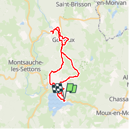
Randonnée V.T.T. de 27 km à découvrir à Bourgogne-Franche-Comté, Nièvre, Moux-en-Morvan. Cette randonnée est proposée par jeanclaude12.
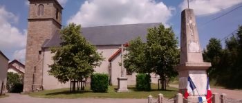
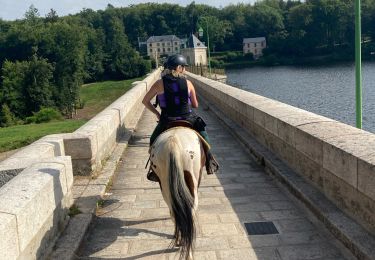
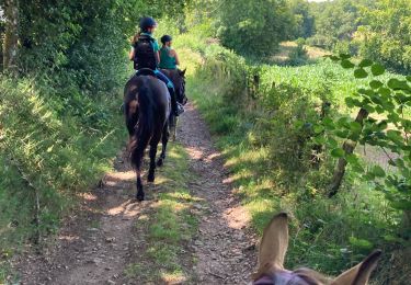
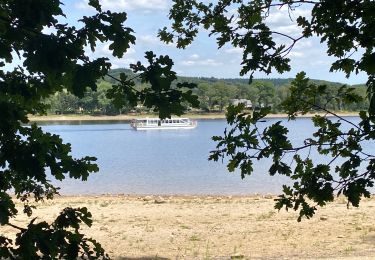
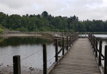
Rejoindre le GR 13 par le Bord du Lac des Settons et sa Base de Loisirs des Branlasses vers Gouloux et le Saut de Gouloux. Retour par Les Comtes, Petit-Jean, Le Brocard, Les Gadreys et La Faye.


Marche
Randonnée équestre
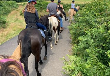
Randonnée équestre
Randonnée équestre
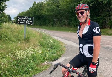
Vélo de route
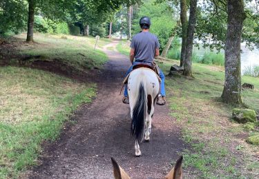
Randonnée équestre
Randonnée équestre
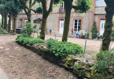
Marche
V.T.T.