


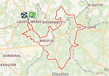

17,9 km | 22 km-effort

Utilisateur


Application GPS de randonnée GRATUITE
 SityTrail
IGN / Instituts géographiques
SityTrail World
Le monde est à vous
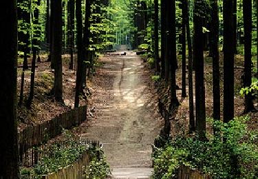
Randonnée Marche de 24 km à découvrir à Flandre, Flandre orientale, Markedal. Cette randonnée est proposée par Greg813.
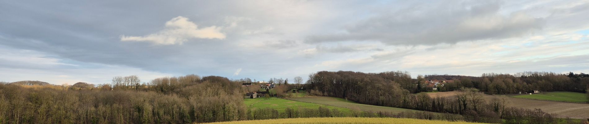
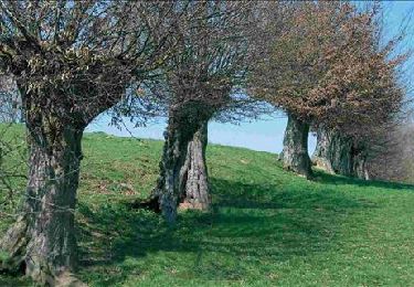
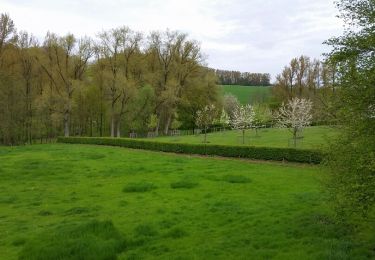
Randonnée avec Mettons le Monde en Marche entre campagne et bois nommée le “Défi des Ardennes flamandes”.
Attention en cas de pluie, le terrain devient vite très boueux !

Marche

Vélo électrique
V.T.T.
Marche
A pied

A pied

Cheval
A pied

A pied