


15,4 km | 32 km-effort

Utilisateur


Application GPS de randonnée GRATUITE
 SityTrail
IGN / Instituts géographiques
SityTrail World
Le monde est à vous
Randonnée Marche de 11 km à découvrir à Provence-Alpes-Côte d'Azur, Hautes-Alpes, Val-des-Prés. Cette randonnée est proposée par tyax93.
Rando sympa, joli point de vue une fois arrivé à la Bergerie.
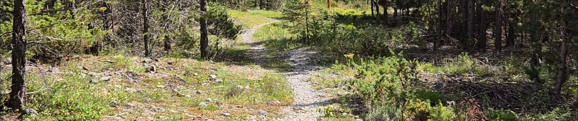
Par contre il ne faut pas faire le tour par le GR noté en rose sur le plan mais bien passer par la Lauze...
le sentier est difficilement praticable sur certains tronçons à cause des pluies et ce depuis plusieurs années


Marche

V.T.T.

Marche

Marche

Marche

Marche

Marche

V.T.T.
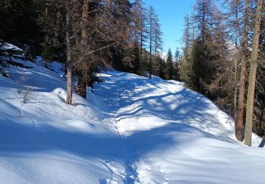
Ski de randonnée