


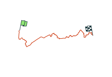

16,3 km | 18,1 km-effort

Tous les sentiers balisés d’Europe GUIDE+


Application GPS de randonnée GRATUITE
 SityTrail
IGN / Instituts géographiques
SityTrail World
Le monde est à vous
Randonnée A pied de 25 km à découvrir à Northland, Far North District, Bay of Islands-Whangaroa Community. Cette randonnée est proposée par SityTrail - itinéraires balisés pédestres.
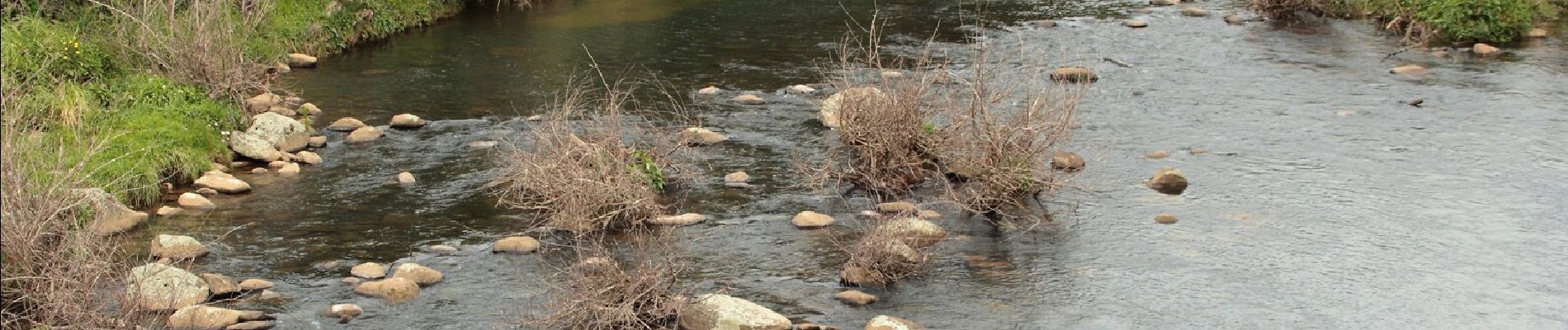
 - Photo 1")
 - Photo 2")
 - Photo 3")
 - Photo 4")
 - Photo 5")
 - Photo 6")
 - Photo 7")
 - Photo 8")
 - Photo 9")
 - Photo 10")

A pied