Ara Harakeke (Flax Way) shared path
SityTrail - itinéraires balisés pédestres
Tous les sentiers balisés d’Europe GUIDE+
Longueur
8,4 km
Altitude max
94 m
Dénivelé positif
120 m
Km-Effort
9,7 km
Altitude min
1 m
Dénivelé négatif
34 m
Boucle
Non
Balise
Date de création :
2025-02-07 18:16:13.673
Dernière modification :
2025-02-07 18:16:13.673
2h12
Difficulté : Facile
Application GPS de randonnée GRATUITE
À propos
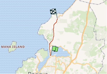
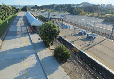
Randonnée A pied de 8,4 km à découvrir à Wellington, Porirua City. Cette randonnée est proposée par SityTrail - itinéraires balisés pédestres.
Description
Randonnée créée par Porirua City Council.
Site web: https://poriruacity.govt.nz/discover-porirua/walking-biking/walk/top-10-walks/
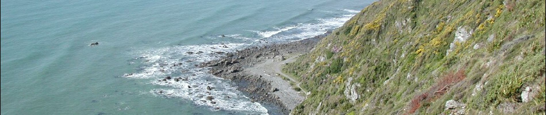
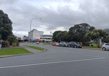
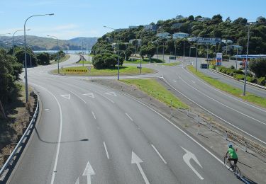
Localisation
Pays :
Nouvelle-Zélande
Région :
Wellington
Département/Province :
Porirua City
Commune :
Unknown
Localité :
Unknown
Départ:(Dec)
Départ:(UTM)
321122 ; 5447678 (60G) S.
Commentaires
Randonnées à proximité
Bothamley (shared) pathway
A pied
Facile
,
Wellington,
Porirua City,
Nouvelle-Zélande
5,5 km | 6,1 km-effort
1h 23min
Non
Pauatahanui Harbour circuit - c) Paremata Bridge to Porirua Station
A pied
Facile
,
Wellington,
Porirua City,
Nouvelle-Zélande
5 km | 6 km-effort
1h 22min
Non
Pauatahanui Harbour circuit - b) Pauatahanui to Paremata Bridge
A pied
Facile
,
Wellington,
Porirua City,
Nouvelle-Zélande
7,3 km | 8,3 km-effort
1h 53min
Non
Pauatahanui Harbour circuit - a) Porirua to Pauatahanui
A pied
Facile
,
Wellington,
Porirua City,
Nouvelle-Zélande
10,9 km | 12,8 km-effort
2h 55min
Non
Te Ara Utiwai
A pied
Facile
,
Wellington,
Porirua City,
Nouvelle-Zélande
4,3 km | 7,4 km-effort
1h 41min
Non
Te Araroa - 06 Wellington - e Elsdon Camp, Porirua to Lambton Quay, Wellington
A pied
Très difficile
,
Wellington,
Porirua City,
Nouvelle-Zélande
29 km | 44 km-effort
9h 59min
Non