


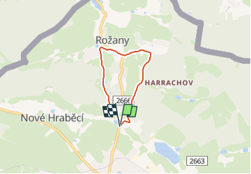

7,3 km | 10,7 km-effort

Tous les sentiers balisés d’Europe GUIDE+


Application GPS de randonnée GRATUITE
 SityTrail
IGN / Instituts géographiques
SityTrail World
Le monde est à vous
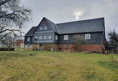
Randonnée A pied de 3,9 km à découvrir à Severozápad, Ústecký kraj, Šluknov. Cette randonnée est proposée par SityTrail - itinéraires balisés pédestres.
Randonnée créée par SŠ lesnická, Šluknov.
zakresleno podle cedule s mapou NS umístěnou pod Šluknovským zámkem


A pied
A pied
A pied