


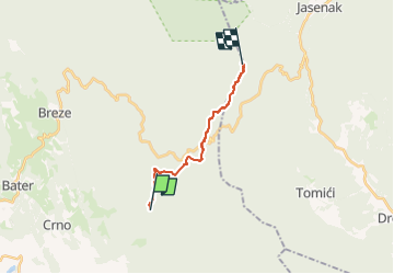

25 km | 36 km-effort


Tous les sentiers balisés d’Europe GUIDE+


Application GPS de randonnée GRATUITE
 SityTrail
IGN / Instituts géographiques
SityTrail World
Le monde est à vous
Randonnée A pied de 11,8 km à découvrir à Inconnu, Comitat de Primorje-Gorski Kotar. Cette randonnée est proposée par SityTrail - itinéraires balisés pédestres.
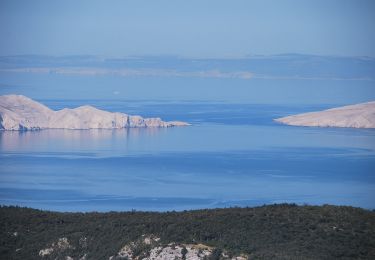
In the area where Velika Kapela approaches the sea, we come across one of the largest forest expanses in Croatia. There are no settlements in the area from Bjelolasica and the sites of Bijele stijene and Samarske stijene to the edge of the regions of Gorski kotar and Primorje, and the entire ...
Site web: https://trail.viadinarica.com/tour/hiking/15957187/
A pied