


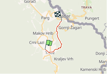

15,3 km | 24 km-effort


Tous les sentiers balisés d’Europe GUIDE+


Application GPS de randonnée GRATUITE
 SityTrail
IGN / Instituts géographiques
SityTrail World
Le monde est à vous
Randonnée A pied de 4,9 km à découvrir à Inconnu, Comitat de Primorje-Gorski Kotar. Cette randonnée est proposée par SityTrail - itinéraires balisés pédestres.
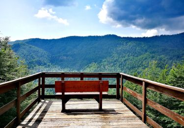
In the northern part of the region of Gorski kotar, north of the mountain area of Risnjak and the city of Delnice, there is a mountainous and forested area with the settlements of Gerovo, Čabar and Prezid as key centers. This area offers a sight of the most beautiful mountain oasis in that part ...
Site web: https://trail.viadinarica.com/tour/hiking/15085364/


A pied