


4,5 km | 7,8 km-effort

Tous les sentiers balisés d’Europe GUIDE+


Application GPS de randonnée GRATUITE
 SityTrail
IGN / Instituts géographiques
SityTrail World
Le monde est à vous
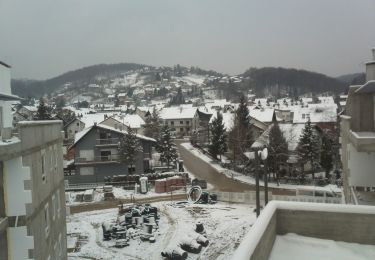
Randonnée A pied de 6,8 km à découvrir à Inconnu, Comitat de Zagreb, Samobor. Cette randonnée est proposée par SityTrail - itinéraires balisés pédestres.
Randonnée créée par HPD Željezničar, Zagreb.
Samobor (most preko Gradne u blizini Samoborskog muzeja) - Vugrinščak - Taborec - Rudarska draga (a.p.) - Čudomerščak - Palačnik - hrbat Pozorin (X s 22 Veliki Črnec) - Gregurić Breg - X s 23 iz Smerovišća


A pied
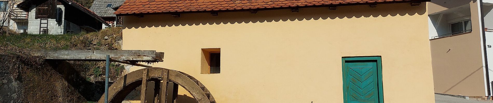
A pied
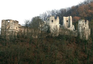
A pied

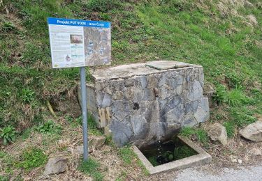
A pied