Randonnée A pied Lindberg - Europas Wildes Herz (Ruckowitzschachten - D/CZ Lackabruck) - Photo

Europas Wildes Herz (Ruckowitzschachten - D/CZ Lackabruck)

Tous les sentiers balisés d’Europe GUIDE+

© OpenStreetMap contributors
Longueur
Longueur
4,2 km
Altitude max
Altitude max
1199 m
Dénivelé positif
Dénivelé positif
107 m
Km-Effort
Km-Effort  
5,5 km
Altitude min
Altitude min
1139 m
Dénivelé négatif
Dénivelé négatif
77 m
Boucle
Boucle
Non
Balise
Balise
Date de création :
2025-02-07 05:43:56.052
Dernière modification :
2025-02-07 05:43:56.052

(0 Avis)

A pied
A pied
1h15
Difficulté : Facile

Scannez ce code QR pour ouvrir la randonnée dans l'application SityTrail

Application GPS de randonnée GRATUITE

Logo SityTrail SityTrail

IGN / Instituts géographiques

Télécharger SityTrail sur l'App Store Télécharger SityTrail sur Google Play

Logo SityTrail SityTrail World

Le monde est à vous

Télécharger SityTrail sur l'App Store Télécharger SityTrail sur Google Play Télécharger SityTrail sur Huawei AppGallery

À propos

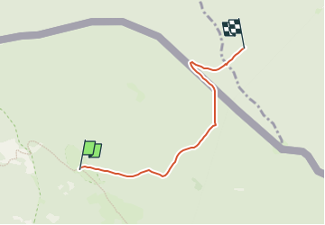
Randonnée A pied de 4,2 km à découvrir à Bavière, Landkreis Regen, Lindberg. Cette randonnée est proposée par SityTrail - itinéraires balisés pédestres.

Description

Randonnée créée par Nationalpark Bayerischer Wald.

Symbole: »Europas wildes Herz«: auf weißem, quadratischem Grund ein stilisiertes Herz, bestehend aus zwei Bögen, hellgrün und dunkelgrün;Text bzgl. freigegebenem Zeitraum der Wegnutzung.
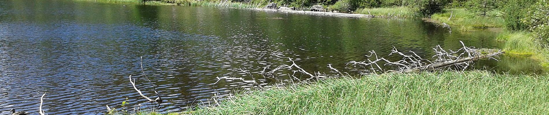
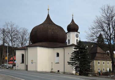
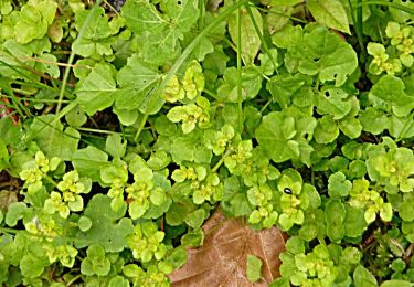
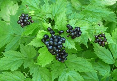
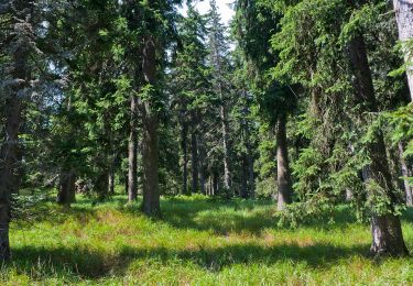
Profil altimétrique

Photos

Localisation

Pays :
Allemagne
Région :
Bavière
Département/Province :
Landkreis Regen
Commune :
Lindberg
Localité :
Unknown
Départ:(UTM)
374040 ; 5440222 (33U) N.

Randonnées à proximité

Randonnée A pied Železná Ruda - CZ-3631 - Photo
A pied
GUIDE+

A pied

Moyen
Železná Ruda, Jihozápad, Plzeňský kraj, République Tchèque
21 km | 28 km-effort
6h 27min
Non
Randonnée A pied Lindberg - Luchsfährte - Photo
A pied
GUIDE+

A pied

Difficile
Lindberg, Bavière, Landkreis Regen, Allemagne
25 km | 34 km-effort
7h 37min
Non
Randonnée A pied Lindberg - Ameise - Photo
A pied
GUIDE+

A pied

Facile
Lindberg, Bavière, Landkreis Regen, Allemagne
3,1 km | 3,9 km-effort
53min
Oui
Randonnée A pied Lindberg - Siebenschläfer - Photo
A pied
GUIDE+

A pied

Facile
Lindberg, Bavière, Landkreis Regen, Allemagne
7,3 km | 9,9 km-effort
2h 14min
Oui
Randonnée A pied Lindberg - Forelle - Photo
A pied
GUIDE+

A pied

Facile
Lindberg, Bavière, Landkreis Regen, Allemagne
7 km | 9 km-effort
2h 3min
Oui
Randonnée A pied Lindberg - Rothirsch - Photo
A pied
GUIDE+

A pied

Facile
Lindberg, Bavière, Landkreis Regen, Allemagne
3,3 km | 4,6 km-effort
1h 2min
Oui
Randonnée A pied Lindberg - Esche - Photo
A pied
GUIDE+

A pied

Facile
Lindberg, Bavière, Landkreis Regen, Allemagne
7,4 km | 14,7 km-effort
3h 19min
Non
Randonnée A pied Lindberg - Heidelbeere - Photo
A pied
GUIDE+

A pied

Facile
Lindberg, Bavière, Landkreis Regen, Allemagne
8,2 km | 15,5 km-effort
3h 31min
Non
Randonnée A pied Lindberg - Eibe - Photo
A pied
GUIDE+

A pied

Facile
Lindberg, Bavière, Landkreis Regen, Allemagne
4,2 km | 10,1 km-effort
2h 17min
Non


Fermer
Mes abonnements