


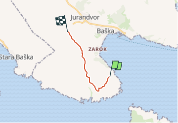

3,6 km | 5,1 km-effort

Tous les sentiers balisés d’Europe GUIDE+


Application GPS de randonnée GRATUITE
 SityTrail
IGN / Instituts géographiques
SityTrail World
Le monde est à vous
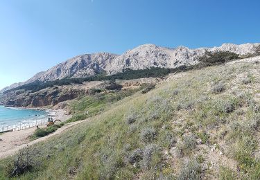
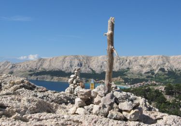
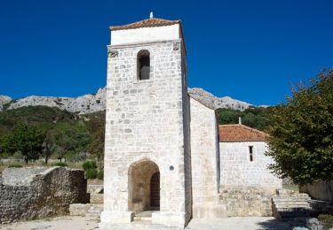
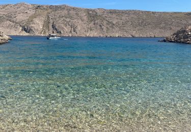
Randonnée A pied de 5,2 km à découvrir à Inconnu, Comitat de Primorje-Gorski Kotar. Cette randonnée est proposée par SityTrail - itinéraires balisés pédestres.
Randonnée créée par TZO Baška - Čedok - KČT.
Symbole: Horizontal bars white-yellow-white


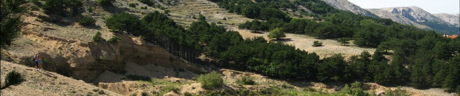
A pied
A pied
A pied

A pied
A pied
A pied
A pied

sport