


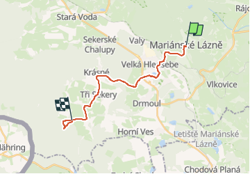

14,8 km | 20 km-effort

Tous les sentiers balisés d’Europe GUIDE+


Application GPS de randonnée GRATUITE
 SityTrail
IGN / Instituts géographiques
SityTrail World
Le monde est à vous
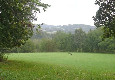
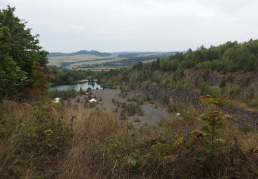
Randonnée A pied de 16,6 km à découvrir à Severozápad, Karlovarský kraj, Marienbad. Cette randonnée est proposée par SityTrail - itinéraires balisés pédestres.
Randonnée créée par cz:KČT.


A pied
A pied
A pied
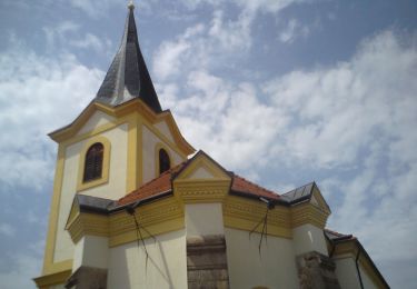
A pied
![Randonnée A pied Bezdružice - [M] Bezdružice - Nezdický potok - Photo](https://media.geolcdn.com/t/375/260/99283623-6ece-47c8-b538-fc6145a60aa3.jpeg&format=jpg&maxdim=2)
A pied
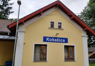
A pied
![Randonnée A pied Černošín - [Ž] Pod Třebelí - Volfštejn - Černošín - Krasíkov - Photo](https://media.geolcdn.com/t/375/260/42da8eaf-ff34-45f0-a1bf-8ecf2b3765a4.jpeg&format=jpg&maxdim=2)
A pied
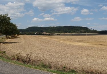
A pied
A pied