


5 km | 6 km-effort

Tous les sentiers balisés d’Europe GUIDE+


Application GPS de randonnée GRATUITE
 SityTrail
IGN / Instituts géographiques
SityTrail World
Le monde est à vous
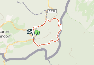
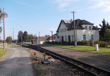
Randonnée A pied de 4,7 km à découvrir à Saxe, Görlitz, Oybin. Cette randonnée est proposée par SityTrail - itinéraires balisés pédestres.
Symbole: Gelber Punkt auf weißem Grund


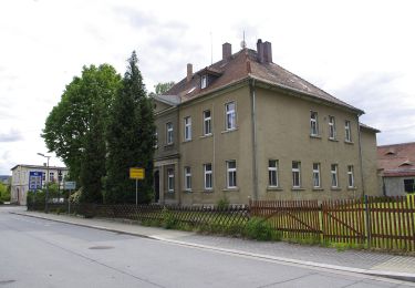
A pied
![Randonnée A pied Rynoltice - [Z] Rynoltice -Jitrava - Photo](https://media.geolcdn.com/t/375/260/6d77d54b-5bfe-486d-be52-f4a62639b639.jpeg&format=jpg&maxdim=2)
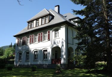
A pied
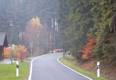
A pied
![Randonnée A pied Hrádek nad Nisou - [M] Hrádek nad Nisou (okruh) - Photo](https://media.geolcdn.com/t/375/260/6f4bfcbc-88e0-401e-bed7-00090c8df757.jpeg&format=jpg&maxdim=2)
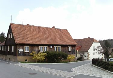
A pied
A pied
A pied
A pied
A pied