


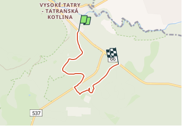

4,9 km | 8,4 km-effort

Tous les sentiers balisés d’Europe GUIDE+


Application GPS de randonnée GRATUITE
 SityTrail
IGN / Instituts géographiques
SityTrail World
Le monde est à vous
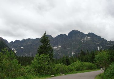
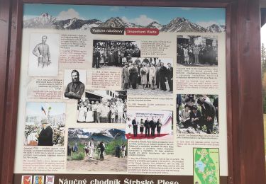
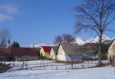
Randonnée A pied de 4 km à découvrir à Région de Prešov, Inconnu, okres Poprad. Cette randonnée est proposée par SityTrail - itinéraires balisés pédestres.
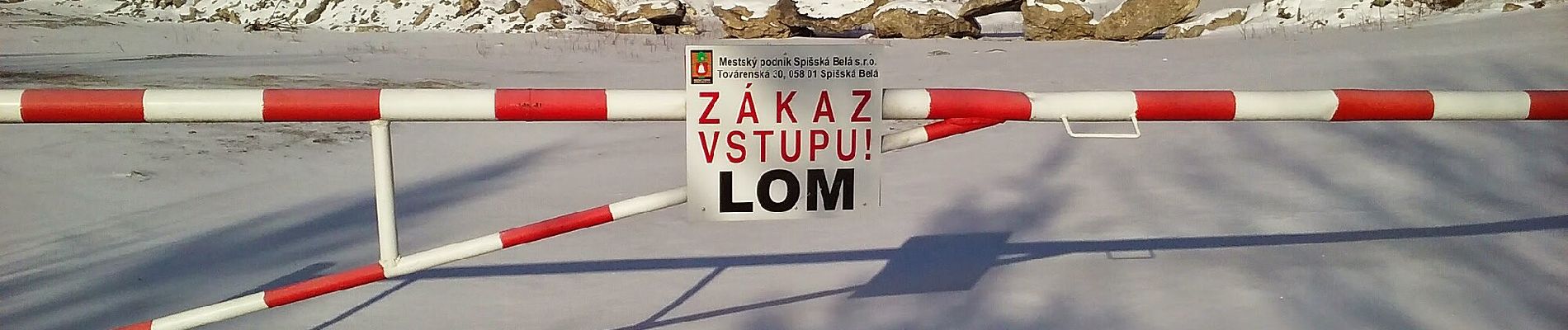
Randonnée créée par Lesy mesta Spišská Belá, s.r.o..
Site web: https://spisskabela.sk/navstevnik/vylety-do-okolia/naucny-lesnicky-chodnik-flak/


A pied

A pied

Marche
V.T.C.
Marche
Marche
Marche
A pied
A pied