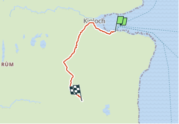

22 km | 44 km-effort

Tous les sentiers balisés d’Europe GUIDE+


Application GPS de randonnée GRATUITE
 SityTrail
IGN / Instituts géographiques
SityTrail World
Le monde est à vous
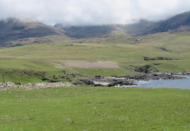
Randonnée A pied de 5,6 km à découvrir à Écosse, Highland. Cette randonnée est proposée par SityTrail - itinéraires balisés pédestres.
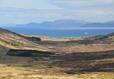
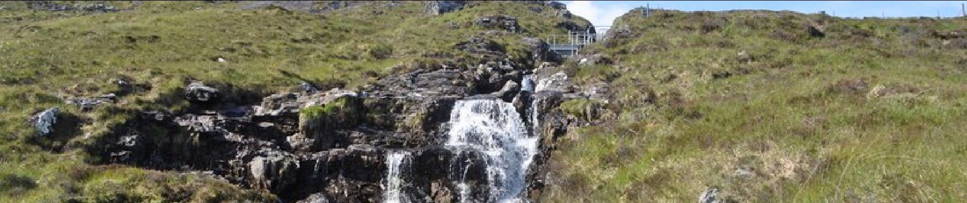
These two most northerly summits in the Rum Cuillin are the closest to Kinloch and give a magnificent hillwalk. The terrain is steep and rocky on Hallival especially, but these two hills still give much easier going than the main summits if the full round of the Rum Cuillin is too difficult. They give astonishing views of mountain and sea.
Site web: https://www.walkhighlands.co.uk/islands/barkeval-hallival.shtml


A pied
A pied
A pied