


7,9 km | 9,9 km-effort


Utilisateur


Application GPS de randonnée GRATUITE
 SityTrail
IGN / Instituts géographiques
SityTrail World
Le monde est à vous
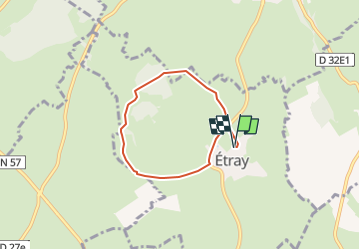
Randonnée Marche de 5,2 km à découvrir à Bourgogne-Franche-Comté, Doubs, Étray. Cette randonnée est proposée par Jacques Hanriot-colin.
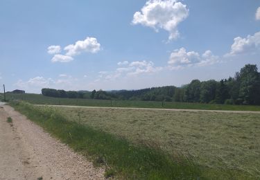
Marche
Marche
Raquettes à neige
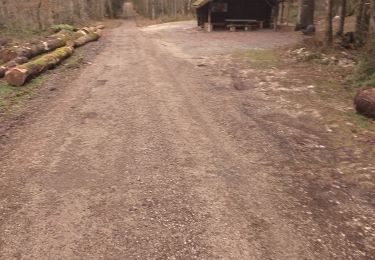
Marche

Quad
Moteur

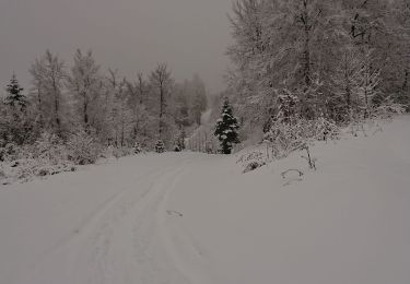
Marche
Marche
Marche