


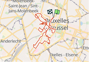


12,8 km | 15,1 km-effort

Utilisateur


Application GPS de randonnée GRATUITE
 SityTrail
IGN / Instituts géographiques
SityTrail World
Le monde est à vous
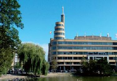
Randonnée Marche de 12,9 km à découvrir à Bruxelles-Capitale, Inconnu, Ville de Bruxelles. Cette randonnée est proposée par Geert H..
Een stadswandceling in het centrum van Brussel zonder al te veel gepland te hebben van wat we wilden zien of doen.


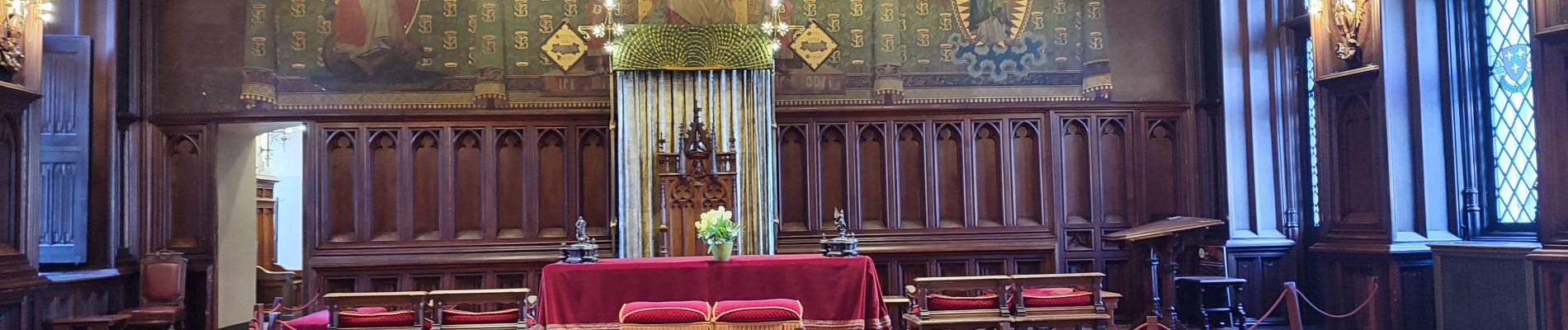
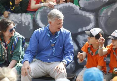
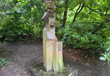
31 photos au total. Cliquez sur une photo pour les afficher toutes dans la galerie.

Marche

Marche

Marche

Marche
Marche
Marche

Marche

Marche
Marche