


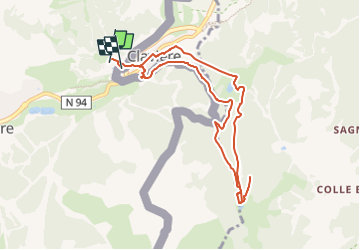

15,4 km | 32 km-effort

Santé-sport seniors


Application GPS de randonnée GRATUITE
 SityTrail
IGN / Instituts géographiques
SityTrail World
Le monde est à vous
Randonnée Raquettes à neige de 8,9 km à découvrir à Provence-Alpes-Côte d'Azur, Hautes-Alpes, Montgenèvre. Cette randonnée est proposée par GCRS Raquettes à neige.
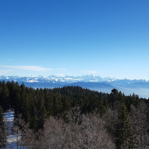
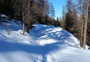
De notre stage animateurs FFRS
ALLONGE

Marche

Marche

Marche

Marche

Marche

Marche

Marche

V.T.T.
Ski de randonnée