


5,2 km | 6,4 km-effort


Utilisateur


Application GPS de randonnée GRATUITE
 SityTrail
IGN / Instituts géographiques
SityTrail World
Le monde est à vous
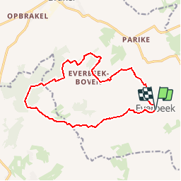
Randonnée Marche de 14 km à découvrir à Flandre, Flandre orientale, Bracle. Cette randonnée est proposée par elsdewilde.
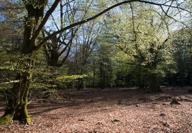
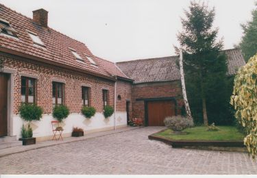
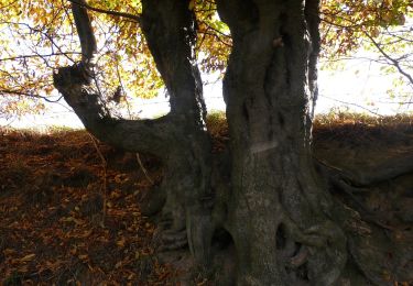
Everbeek telt twee gemeenschappen: Everbeek-Boven en Everbeek- Beneden, elk met hun eigen parochiekerk. Beide waren vroeger Waals grondgebied. In de omgeving van Everbeek strekken zich golvende weiden, akkers en dichte bossen uit. De bewoning is schaars, de plaasteren beeldjes en kruis-lieveheren in de vele kapelletjes buiten beschouwing gelaten. Het Livierenbos, de Everbeekse bossen en het Brakelbos vormen een natuurlijke grens tussen Vlaanderen en Wallonië.
Marche
A pied
A pied
A pied
Cheval

Cheval
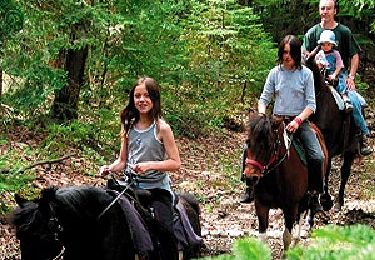
Cheval
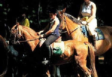
Cheval

A pied