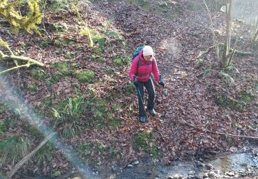
5,2 km | 6,3 km-effort
oraas
floro
Utilisateur
Longueur
3,3 km
Altitude max
102 m
Dénivelé positif
20 m
Km-Effort
3,7 km
Altitude min
41 m
Dénivelé négatif
72 m
Boucle
Non
Date de création :
2024-11-10 13:46:31.068
Dernière modification :
2025-01-16 16:26:05.88
1h04
Difficulté : Facile
Application GPS de randonnée GRATUITE
À propos
Randonnée Marche de 3,3 km à découvrir à Nouvelle-Aquitaine, Pyrénées-Atlantiques, Oraàs. Cette randonnée est proposée par floro.
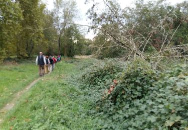
Localisation
Pays :
France
Région :
Nouvelle-Aquitaine
Département/Province :
Pyrénées-Atlantiques
Commune :
Oraàs
Localité :
Unknown
Départ:(Dec)
Départ:(UTM)
663941 ; 4811845 (30T) N.
Commentaires
Randonnées à proximité
BELLOCQ / SAUVETERRE DE BEARN RS
Marche nordique
Très facile
Sauveterre-de-Béarn,
Nouvelle-Aquitaine,
Pyrénées-Atlantiques,
France
1h 34min
Oui
salies de béarn G4
Marche
Difficile
Salies-de-Béarn,
Nouvelle-Aquitaine,
Pyrénées-Atlantiques,
France
12,4 km | 15,5 km-effort
3h 39min
Oui
Salies - Burgaronne - 45 Km
V.T.T.
Très difficile
Salies-de-Béarn,
Nouvelle-Aquitaine,
Pyrénées-Atlantiques,
France
45 km | 60 km-effort
4h 48min
Oui
Auterive St pe
Marche
Très facile
Auterrive,
Nouvelle-Aquitaine,
Pyrénées-Atlantiques,
France
4,8 km | 5,3 km-effort
1h 3min
Non
Salies-de-Béarn Bernatère et ses cascades
Marche
Très facile
Salies-de-Béarn,
Nouvelle-Aquitaine,
Pyrénées-Atlantiques,
France
12,5 km | 15,5 km-effort
3h 21min
Oui
SALIES - Bernataire
Marche
Très facile
(1)
Salies-de-Béarn,
Nouvelle-Aquitaine,
Pyrénées-Atlantiques,
France
12,2 km | 15,1 km-effort
3h 17min
Oui
SALIES - LE CHEMIN ROYAL
Raquettes à neige
Très facile
Salies-de-Béarn,
Nouvelle-Aquitaine,
Pyrénées-Atlantiques,
France
10,2 km | 12,8 km-effort
2h 43min
Oui
Salies de Bearn
Marche
Moyen
Salies-de-Béarn,
Nouvelle-Aquitaine,
Pyrénées-Atlantiques,
France
18,3 km | 22 km-effort
5h 35min
Oui
2024-st Jacques - Sauveterre- Ostabat
Marche
Difficile
Sauveterre-de-Béarn,
Nouvelle-Aquitaine,
Pyrénées-Atlantiques,
France
27 km | 36 km-effort
7h 18min
Non