


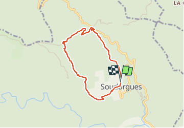

17,7 km | 26 km-effort


Utilisateur


Application GPS de randonnée GRATUITE
 SityTrail
IGN / Instituts géographiques
SityTrail World
Le monde est à vous
Randonnée Marche de 6,8 km à découvrir à Occitanie, Gard, Soudorgues. Cette randonnée est proposée par silvestreclaudine.
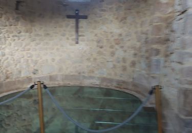
départ de Soudorgue.
parking après le temple.
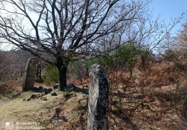
monter vers le Mourier,suivre le GR et le PR
abandonner le GR et suivre uniquement le PRvers le mauripe.


Marche

Marche
Marche
Marche
Marche
A pied

