


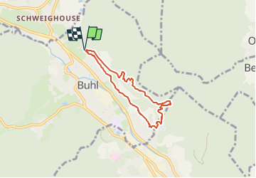

12,7 km | 20 km-effort

Utilisateur


Application GPS de randonnée GRATUITE
 SityTrail
IGN / Instituts géographiques
SityTrail World
Le monde est à vous
Randonnée Marche de 5,4 km à découvrir à Grand Est, Haut-Rhin, Buhl. Cette randonnée est proposée par Hub6877.
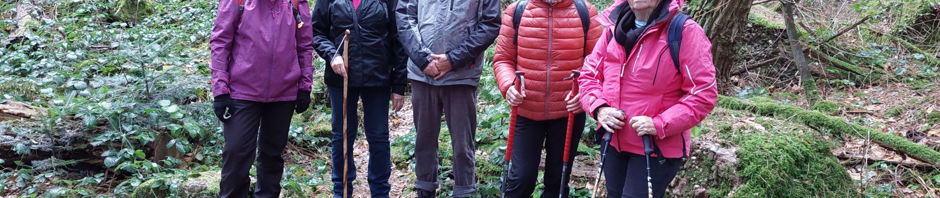
AMAELLES - Randonée du 06/01/2025 - Bulh (Carrières)
de 14h à 16h15
Animation: Jacques (remplacement Bernard) Hubert
4 participantes
Météo: Vent et pluie - Temp: 10°


Marche

Marche

V.T.T.

A pied

Marche
V.T.T.

Marche

Marche

Marche