Siemens Bali SityTrail > Randonnées > Outdoor > Indonésie > Bali > Unknown > Unknown SityTrail > Randonnées > Outdoor > Indonésie > Bali > Unknown > Unknown Siemens Bali Vanlerberghe Utilisateur 3D © OpenStreetMap contributors Longueur 2,3 km Altitude max 311 m Dénivelé positif 48 m Km-Effort 3 km Altitude min 267 m Dénivelé négatif 45 m Boucle Oui Date de création : 2024-12-08 03:06:31.049 Dernière modification : 2025-01-04 08:02:35.153 (0 Avis) Marche 50m Difficulté : Très facile Application GPS de randonnée GRATUITE SityTrail IGN / Instituts géographiques SityTrail World Le monde est à vous À propos 
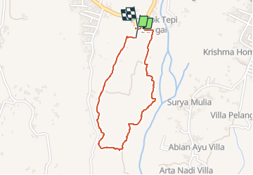
Randonnée Marche de 2,3 km à découvrir à Bali. Cette randonnée est proposée par Vanlerberghe. Légendes | Plus de détails (PDF) Profil altimétrique Légendes > 15% 15% - 10% 10% - 5% à plat 5% - 10% 10% - 15% 15% - 30% > 30% Localisation Pays : Indonésie Région : Bali Département/Province : Unknown Commune : Unknown Localité : Unknown Départ:(Dec) -8.4707435 / 115.4371247 Départ:(UTM) 327955 ; 9063314 (50L) S. Commentaires Veuillez vous connecter pour laisser un commentaire ou une note Randonnées à proximité bellangerxavier Rafting Canoë - kayak , Bali, , Indonésie 8,9 km | 13,9 km-effort 54min Non