![](/images/other/stat-length.png)
![Randonnée Marche Waimes - ❄️⛄️ Hertogenwald oriental - Photo](https://media.geolcdn.com/t/1900/400/dc9c610a-1879-4b3f-b966-197cedfb65ae.jpg&format=pjpeg&maxdim=2)
❄️⛄️ Hertogenwald oriental
Je vous emmène sur mes chemins
Par Mumu.larandonneuse
![Longueur](/images/other/stat-length.png)
![Altitude max](https://static1.geolcdn.com/siteimages/upload/files/1508320355ic_sort_altitude_max_24dp.png)
![Dénivelé positif](https://static1.geolcdn.com/siteimages/upload/files/1508320355ic_sort_den_pos_24dp.png)
![Km-Effort](/images/other/stat-length.png)
![Altitude min](https://static1.geolcdn.com/siteimages/upload/files/1508320355ic_sort_altitude_min_24dp.png)
![Dénivelé négatif](https://static1.geolcdn.com/siteimages/upload/files/1508320355ic_sort_den_neg_24dp.png)
![Boucle](https://static1.geolcdn.com/siteimages/upload/files/16400158638029165_repeat_loop_refresh_sync_direction_icon.png)
![Marche](https://static1.geolcdn.com/sitytour/trail-icons/101.png)
1h37
Difficulté : Facile
![Scannez ce code QR pour ouvrir la randonnée dans l'application SityTrail](https://capi.geolives.com/qq0zvz2zws4bq2lad0pu/sitytour/trails/4309585/qr.png?size=200)
Application GPS de randonnée GRATUITE
À propos
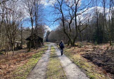
Randonnée Marche de 5,9 km à découvrir à Wallonie, Liège, Waimes. Cette randonnée est proposée par Je vous emmène sur mes chemins .
Description
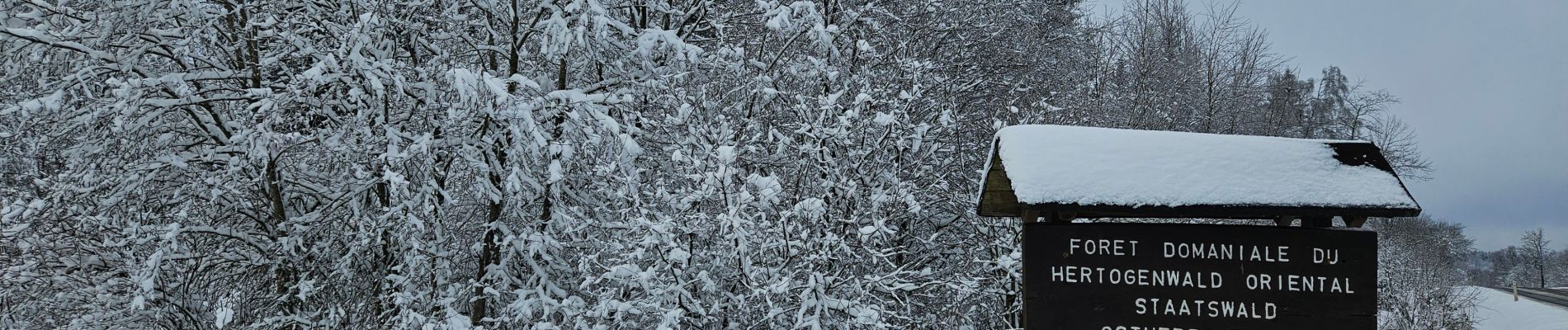
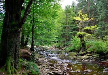
Belle balade dans la neige ❄️⛄️ dans la réserve naturelle de Brackvenn.
⚠️ Chien interdit (zones B & D)
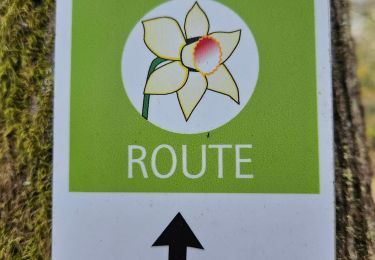
➡️ balisée points-noeuds n° 80 71 77 63 32 58 45 26 44 80.
📌 & 🅿️ Parking Grenzweg ou Parking Nahtsief
Localisation
Commentaires
Randonnées à proximité
![Randonnée Marche Montjoie - Route des jonquilles Monschau-Höfen - Photo](https://media.geolcdn.com/t/375/260/f78b6422-c27b-477b-b695-82eecbd61b40.jpg&format=jpg&maxdim=2)
![Marche Marche](https://static1.geolcdn.com/sitytour/trail-icons/101.png)
Marche
![](/images/other/stat-length.png)
![](https://static1.geolcdn.com/siteimages/upload/files/16400158638029165_repeat_loop_refresh_sync_direction_icon.png)
![Randonnée Marche Montjoie - Montjoie - Ternell en ligne - Photo](https://media.geolcdn.com/t/375/260/d0229e76-e80b-4ee0-af20-8e96d215cea3.jpg&format=jpg&maxdim=2)
![Marche Marche](https://static1.geolcdn.com/sitytour/trail-icons/101.png)
Marche
![](/images/other/stat-length.png)
![](https://static1.geolcdn.com/siteimages/upload/files/16400158638029165_repeat_loop_refresh_sync_direction_icon.png)
![Randonnée Marche Eupen - Hautes Fagnes hohes Venn 20 km - Photo](https://media.geolcdn.com/t/375/260/6f1cadd0-76cd-4012-82b6-befbf33ff4a3.jpg&format=jpg&maxdim=2)
![Marche Marche](https://static1.geolcdn.com/sitytour/trail-icons/101.png)
Marche
![](/images/other/stat-length.png)
![](https://static1.geolcdn.com/siteimages/upload/files/16400158638029165_repeat_loop_refresh_sync_direction_icon.png)
![Randonnée Marche Eupen - Ternell - Circuit Natura 2000, des sites qui valent le détour - Lg12 - Photo](https://media.geolcdn.com/t/375/260/ext.jpg?maxdim=2&url=https%3A%2F%2Fservices.sitytrail.com%2FGeolivesWS%2FDownloadMedia.ashx%3FTrailID%3D182858%26Media%3D2f1c8692-9618-4581-8cd4-3bdd9e8b8b21.JPG)
![Marche Marche](https://static1.geolcdn.com/sitytour/trail-icons/101.png)
Marche
![](/images/other/stat-length.png)
![](https://static1.geolcdn.com/siteimages/upload/files/16400158638029165_repeat_loop_refresh_sync_direction_icon.png)
![Randonnée Marche Eupen - La maison forestiere de Ternell - Photo](https://media.geolcdn.com/t/375/260/ext.jpg?maxdim=2&url=https%3A%2F%2Fstatic1.geolcdn.com%2Fsiteimages%2Fupload%2Ffiles%2F1553511878bg_sport_marche.png)
![Marche Marche](https://static1.geolcdn.com/sitytour/trail-icons/101.png)
Marche
![](/images/other/stat-length.png)
![](https://static1.geolcdn.com/siteimages/upload/files/16400158638029165_repeat_loop_refresh_sync_direction_icon.png)
![Randonnée A pied Montjoie - Monschauer Nationalpark-Wanderweg](https://media.geolcdn.com/t/375/260/6ecae744-a5e1-4d67-8c65-d4bc2433654d.jpeg&format=jpg&maxdim=2)
![A pied A pied](https://static1.geolcdn.com/sitytour/trail-icons/100.png)
A pied
![](/images/other/stat-length.png)
![](https://static1.geolcdn.com/siteimages/upload/files/16400158638029165_repeat_loop_refresh_sync_direction_icon.png)
![Randonnée A pied Montjoie - Narzissenroute Höfen (Eifel) - Photo](https://media.geolcdn.com/t/375/260/4209bd6d-0e5a-4c94-aa91-ecdefe50dbb3.jpeg&format=jpg&maxdim=2)
![A pied A pied](https://static1.geolcdn.com/sitytour/trail-icons/100.png)
A pied
![](/images/other/stat-length.png)
![](https://static1.geolcdn.com/siteimages/upload/files/16400158638029165_repeat_loop_refresh_sync_direction_icon.png)
![Randonnée A pied Montjoie - Klosterroute - Photo](https://media.geolcdn.com/t/375/260/d4896ddf-a189-42c6-b0a5-59bf65f3272d.jpeg&format=jpg&maxdim=2)
![A pied A pied](https://static1.geolcdn.com/sitytour/trail-icons/100.png)
A pied
![](/images/other/stat-length.png)
![](https://static1.geolcdn.com/siteimages/upload/files/16400158638029165_repeat_loop_refresh_sync_direction_icon.png)
![Randonnée A pied Eupen - Herzogenhügel - Brackvenn - Photo](https://media.geolcdn.com/t/375/260/2603330b-7ce5-4c9d-abaf-2fa97788246c.jpeg&format=jpg&maxdim=2)
![A pied A pied](https://static1.geolcdn.com/sitytour/trail-icons/100.png)
A pied
![](/images/other/stat-length.png)
![](https://static1.geolcdn.com/siteimages/upload/files/16400158638029165_repeat_loop_refresh_sync_direction_icon.png)