


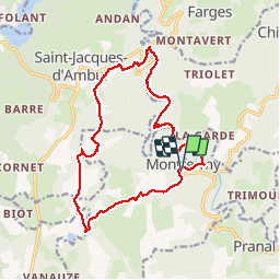

10 km | 13,4 km-effort

Utilisateur


Application GPS de randonnée GRATUITE
 SityTrail
IGN / Instituts géographiques
SityTrail World
Le monde est à vous
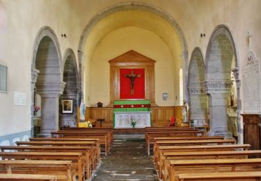
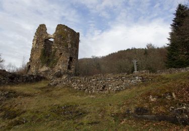
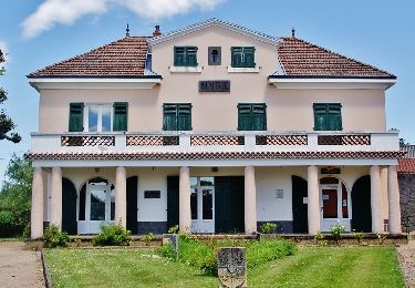
Randonnée Marche de 17,1 km à découvrir à Auvergne-Rhône-Alpes, Puy-de-Dôme, Montfermy. Cette randonnée est proposée par Gegetop.
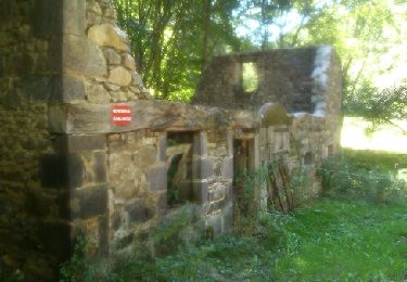
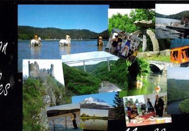
Une des plus belles randonnée des Combrailles et de la Sioule.
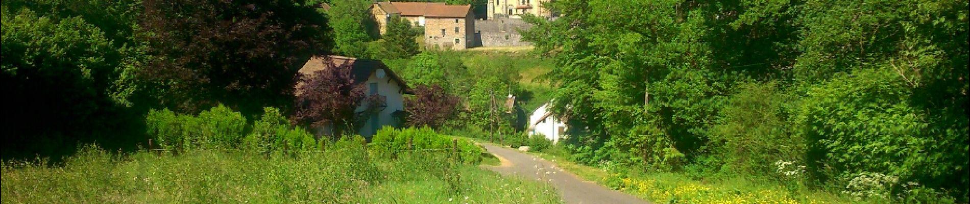
Forêt de hêtres magnifique et la Sioule tantôt calme et tantôt rapide est à la fois sauvage et ombragée.


Marche
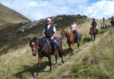
Randonnée équestre
A pied
A pied
A pied
A pied
Randonnée équestre
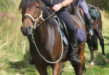
Randonnée équestre
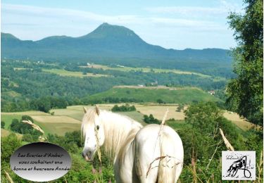
Randonnée équestre