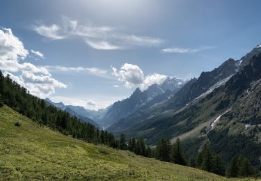
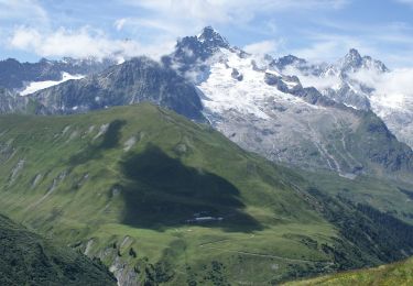
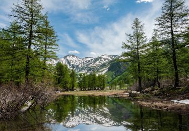
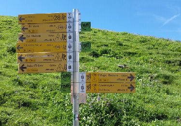
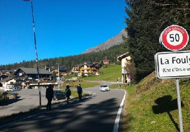
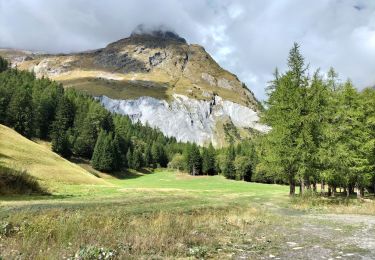
Randonnée Marche Courmayeur - tmb 2 - Photo
 Florent Volpeliere
Florent Volpeliere

Utilisateur

© OpenStreetMap contributors
Longueur
Longueur
70 km
Altitude max
Altitude max
3748 m
Dénivelé positif
Dénivelé positif
6139 m
Km-Effort
Km-Effort  
148 km
Altitude min
Altitude min
1031 m
Dénivelé négatif
Dénivelé négatif
5061 m
Boucle
Boucle
Non
Date de création :
2024-12-07 15:56:14.864
Dernière modification :
2024-12-07 15:57:43.536

(0 Avis)

Marche
Marche
33h43
Difficulté : Très difficile

Scannez ce code QR pour ouvrir la randonnée dans l'application SityTrail

Application GPS de randonnée GRATUITE

Logo SityTrail SityTrail

IGN / Instituts géographiques

Télécharger SityTrail sur l'App Store Télécharger SityTrail sur Google Play

Logo SityTrail SityTrail World

Le monde est à vous

Télécharger SityTrail sur l'App Store Télécharger SityTrail sur Google Play Télécharger SityTrail sur Huawei AppGallery

À propos

Randonnée Marche de 70 km à découvrir à Vallée d'Aoste, Inconnu, Courmayeur. Cette randonnée est proposée par Florent Volpeliere.

Description

refuge elena

Profil altimétrique

Localisation

Pays :
Italie
Région :
Vallée d'Aoste
Département/Province :
Inconnu
Commune :
Courmayeur
Localité :
Unknown
Départ:(UTM)
349937 ; 5083048 (32T) N.

Randonnées à proximité

Randonnée A pied Courmayeur - Alta Via n. 1 della Valle d'Aosta - Tappa 17 - Photo
A pied
GUIDE+

A pied

Facile
Courmayeur, Vallée d'Aoste, Inconnu, Italie
11,9 km | 18,2 km-effort
4h 8min
Non
Randonnée A pied Courmayeur - (SI F09) Rifugio Bonatti - Rifugio Frassati - Photo
A pied
GUIDE+

A pied

Facile
Courmayeur, Vallée d'Aoste, Inconnu, Italie
7,5 km | 17,6 km-effort
4h 0min
Non
Randonnée A pied Orsières - Sentier des Bergers - Photo
A pied
GUIDE+

A pied

Facile
Orsières, Valais, Entremont, Suisse
4,8 km | 9,2 km-effort
2h 5min
Non
Randonnée A pied Courmayeur - Itinerario 23 Rifugio Dalmazzi - Photo
A pied
GUIDE+

A pied

Facile
Courmayeur, Vallée d'Aoste, Inconnu, Italie
4,1 km | 6,6 km-effort
1h 29min
Non
Randonnée Marche Courmayeur - TMB J4 Ref.ELENA - COURMAYEUR - Photo
Marche
GerardBouche

Marche

Moyen
Courmayeur, Vallée d'Aoste, Inconnu, Italie
13,5 km | 22 km-effort
4h 18min
Non
Randonnée Marche Courmayeur - TMB day 4 - Photo
Marche
elixpomatia

Marche

Moyen
Courmayeur, Vallée d'Aoste, Inconnu, Italie
16,6 km | 27 km-effort
5h 37min
Non
Randonnée Marche Orsières - fully  - Photo
Marche
suzanne.bron

Marche

Facile
Orsières, Valais, Entremont, Suisse
3,8 km | 4,9 km-effort
1h 19min
Non
Randonnée Marche Courmayeur - TMB6 AN - Photo
Marche
reneperrin

Marche

Facile
Courmayeur, Vallée d'Aoste, Inconnu, Italie
12,6 km | 21 km-effort
4h 5min
Non
Randonnée Marche Orsières - TMB Étape 5 : Gite de La Peule au Relais d'Arpette - Photo
Marche
Timothée ZARAGORI

Marche

Très difficile
Orsières, Valais, Entremont, Suisse
22 km | 34 km-effort
7h 40min
Non


Fermer
Mes abonnements