


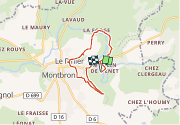

10,6 km | 13,2 km-effort

Utilisateur


Application GPS de randonnée GRATUITE
 SityTrail
IGN / Instituts géographiques
SityTrail World
Le monde est à vous
Randonnée Marche de 6,5 km à découvrir à Nouvelle-Aquitaine, Charente, Montbron. Cette randonnée est proposée par alainjoseph6.
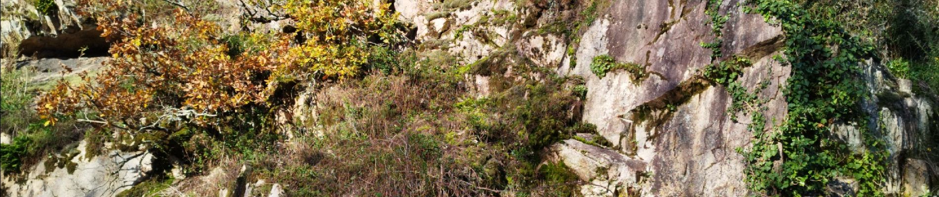
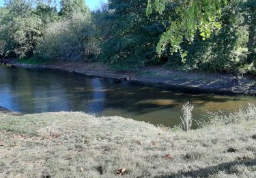
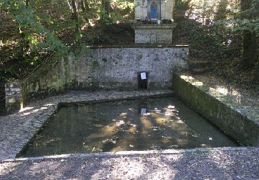
Au départ du château 🏰 de Menet avec son moulin en passant par Montbron et son église romane et retour par le château 🏰 de Chabro et le restaurant du moulin de la Tardoire et retour en passant devant la vallée de la Renaudie.


Marche

Marche
Marche

V.T.T.

Marche
V.T.T.
Marche
V.T.T.
V.T.T.