


10,4 km | 14,8 km-effort

Utilisateur


Application GPS de randonnée GRATUITE
 SityTrail
IGN / Instituts géographiques
SityTrail World
Le monde est à vous
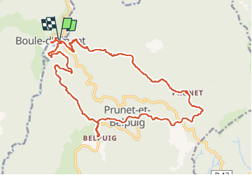
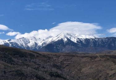
Randonnée Marche de 12,4 km à découvrir à Occitanie, Pyrénées-Orientales, Prunet-et-Belpuig. Cette randonnée est proposée par MarcOBRECHT.
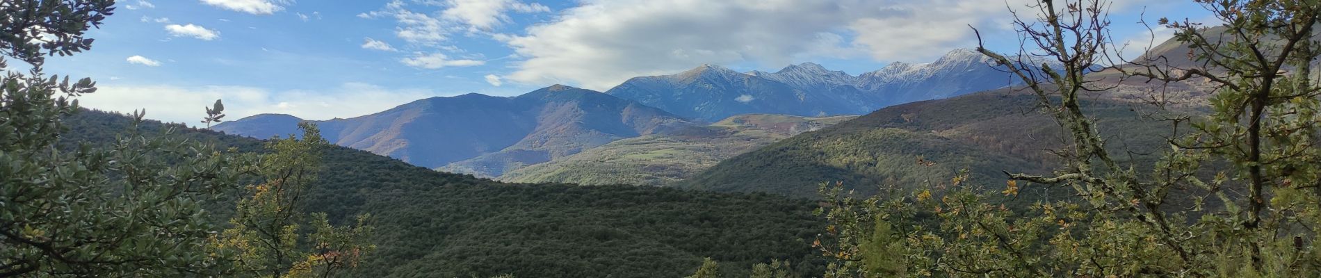
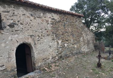
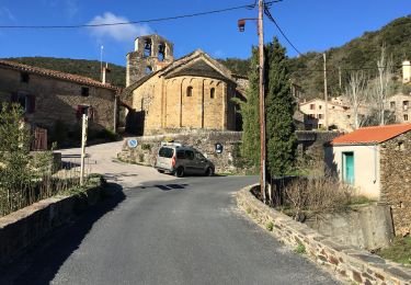
Depuis boule d'amont en montant vers la chapelle de Prunet.
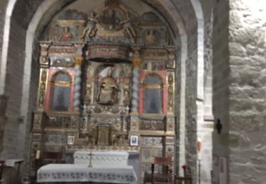
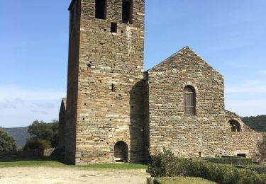
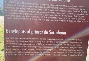
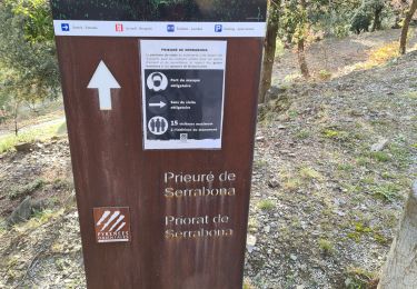
Direction la Trinité puis montée aux ruines du chateau et visite de l'église.
Descente et retour


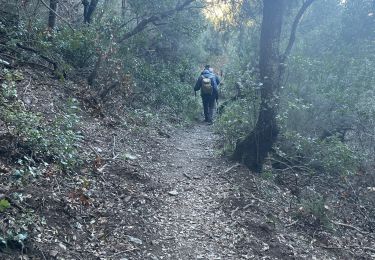
Marche
Marche

Marche
Marche
Marche
Marche
Marche
Marche
Marche