


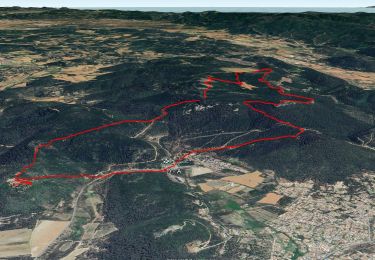
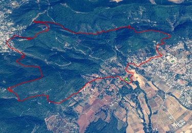
14,2 km | 21 km-effort

Utilisateur


Application GPS de randonnée GRATUITE
 SityTrail
IGN / Instituts géographiques
SityTrail World
Le monde est à vous
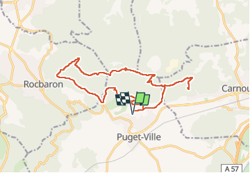
Randonnée Marche de 19,3 km à découvrir à Provence-Alpes-Côte d'Azur, Var, Puget-Ville. Cette randonnée est proposée par Christiancordin.
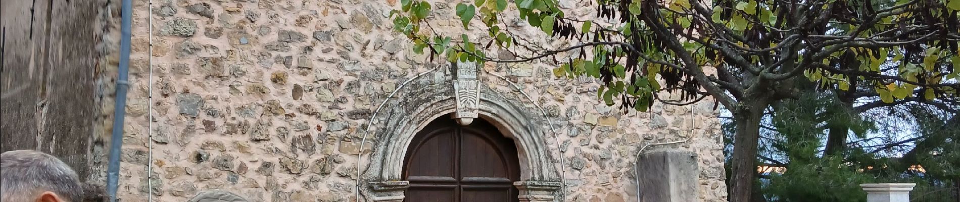
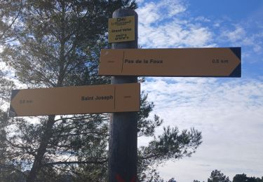
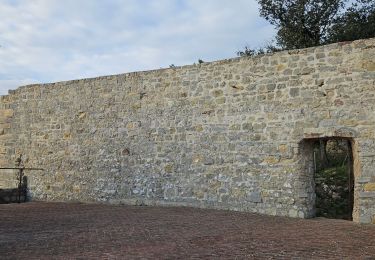
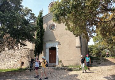
D. complexe sportif de Puget, chapelle, ND de la Vière, pas de la Foux, colle de Terre Blanche, GR 9, piste de Font de Luc, tour du Faucon, le Défens de la tour.


Marche
Marche
Marche
A pied
A pied
Marche
Marche
Marche
Marche