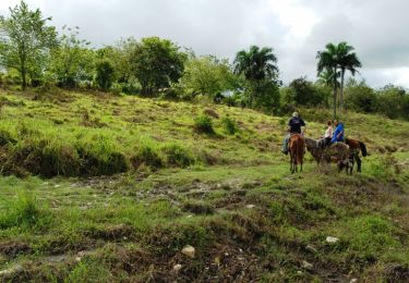
Randonnée Marche Montseron - Ciboulette Foix Montseron Circuit St Barthélémy  - Photo

Ciboulette Foix Montseron Circuit St Barthélémy

 thomarche
thomarche

Utilisateur

© OpenStreetMap contributors
Longueur
Longueur
13,6 km
Altitude max
Altitude max
569 m
Dénivelé positif
Dénivelé positif
539 m
Km-Effort
Km-Effort  
21 km
Altitude min
Altitude min
339 m
Dénivelé négatif
Dénivelé négatif
522 m
Boucle
Boucle
Non
Date de création :
2024-11-19 11:16:03.0
Dernière modification :
2024-11-19 17:01:44.111

(0 Avis)

Marche
Marche
5h44
Difficulté : Facile

Scannez ce code QR pour ouvrir la randonnée dans l'application SityTrail

Application GPS de randonnée GRATUITE

Logo SityTrail SityTrail

IGN / Instituts géographiques

Télécharger SityTrail sur l'App Store Télécharger SityTrail sur Google Play

Logo SityTrail SityTrail World

Le monde est à vous

Télécharger SityTrail sur l'App Store Télécharger SityTrail sur Google Play Télécharger SityTrail sur Huawei AppGallery

À propos

Randonnée Marche de 13,6 km à découvrir à Occitanie, Ariège, Montseron. Cette randonnée est proposée par thomarche.

Description

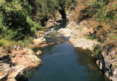
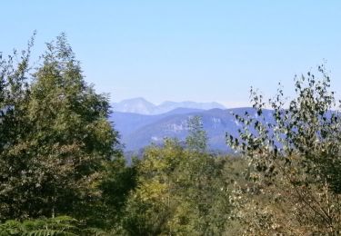
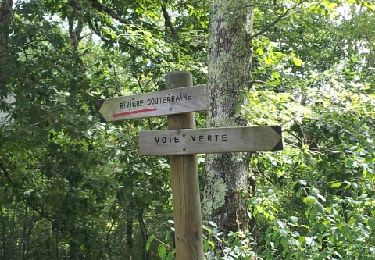
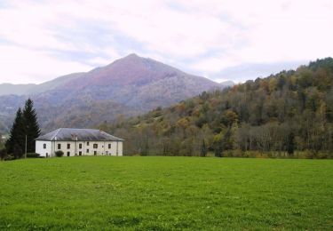
Splendide boucle balisée de bout en bout (juste sur carte, erreur tracé sentier village Le Peich: il faut prendre à droite avant la mairie). Chemins d’une très très grande beauté, avec murets en pierre, bien moussus dans les bois, traversées de vieux ponts en pierre, de pâtures, vues, ruines chateau étonnantes.

Profil altimétrique

Localisation

Pays :
France
Région :
Occitanie
Département/Province :
Ariège
Commune :
Montseron
Localité :
Unknown
Départ:(Dec)
Départ:(UTM)
363209 ; 4764325 (31T) N.

Randonnées à proximité

Randonnée Vélo électrique Castelnau-Durban - Castelnau Durban à Niaux - Photo
Vélo électrique
jpborto

Vélo électrique

Moyen
Castelnau-Durban, Occitanie, Ariège, France
52 km | 63 km-effort
3h 8min
Non
Randonnée V.T.T. Rimont - RIMONT - Photo
V.T.T.
John09

V.T.T.

Moyen
(2)
Rimont, Occitanie, Ariège, France
13,7 km | 21 km-effort
1h 24min
Oui
Randonnée Marche Rimont - La Coue Rouge -  Rimont  - Photo
Marche
tracegps

Marche

Difficile
(1)
Rimont, Occitanie, Ariège, France
14,4 km | 23 km-effort
4h 30min
Oui
Randonnée V.T.T. La Bastide-de-Sérou - segalas  la bouiche et retour  - Photo
V.T.T.
jopost

V.T.T.

Facile
La Bastide-de-Sérou, Occitanie, Ariège, France
36 km | 42 km-effort
2h 47min
Non
Randonnée Cheval Allières - Allières - Les Cabesses - Photo
Cheval
tracegps

Cheval

Difficile
Allières, Occitanie, Ariège, France
28 km | 43 km-effort
2h 30min
Non
Randonnée Cheval Clermont - Boucle dans le Massif de l'Arize - Clermont - Lescure - Photo
Cheval
tracegps

Cheval

Moyen
Clermont, Occitanie, Ariège, France
9,6 km | 13,1 km-effort
1h 0min
Non
Randonnée Cheval Allières - Boucle dans le Massif de l'Arize - Allières - Clermont - Photo
Cheval
tracegps

Cheval

Moyen
Allières, Occitanie, Ariège, France
8,1 km | 12 km-effort
1h 0min
Non
Randonnée Marche Durban-sur-Arize - 09_durban sur arize - Photo
Marche
jab31

Marche

Moyen
Durban-sur-Arize, Occitanie, Ariège, France
16 km | 24 km-effort
4h 27min
Oui
Randonnée Marche Castelnau-Durban - Castelnau Durban , Monseron par Lazon et retour - Photo
Marche
Jean-Paul Raton

Marche

Moyen
Castelnau-Durban, Occitanie, Ariège, France
6,7 km | 10,3 km-effort
2h 20min
Oui


Fermer
Mes abonnements