

2024-11-18_17h00m32_alpilles-baumayrane

dominique dubroca
Utilisateur

Longueur
16 km

Altitude max
292 m

Dénivelé positif
405 m

Km-Effort
21 km

Altitude min
97 m

Dénivelé négatif
391 m
Boucle
Oui
Date de création :
2024-11-18 16:00:32.647
Dernière modification :
2024-11-18 16:00:33.567

Application GPS de randonnée GRATUITE
À propos
Randonnée de 16 km à découvrir à Provence-Alpes-Côte d'Azur, Bouches-du-Rhône, Saint-Rémy-de-Provence. Cette randonnée est proposée par dominique dubroca.
Description
Un petit tour dans les Alpilles, départ lac Peiroou, crête de Baumayrane, les quatre cantons, le vallon d\'Estienne, détour par la Cadeniere, retour au Lac
Localisation
Pays :
France
Région :
Provence-Alpes-Côte d'Azur
Département/Province :
Bouches-du-Rhône
Commune :
Saint-Rémy-de-Provence
Localité :
Unknown
Départ:(Dec)
Départ:(UTM)
647098 ; 4847829 (31T) N.
Commentaires
Randonnées à proximité
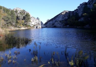
Alpilles


Marche
Difficile
(1)
Saint-Rémy-de-Provence,
Provence-Alpes-Côte d'Azur,
Bouches-du-Rhône,
France

19,2 km | 27 km-effort
5h 7min
Non
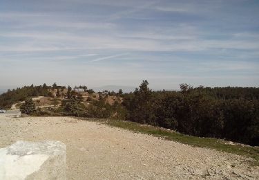
Les Baux-Crêtes des Alpilles 11-03-17


Marche
Moyen
(1)
Saint-Rémy-de-Provence,
Provence-Alpes-Côte d'Azur,
Bouches-du-Rhône,
France

14,3 km | 19,7 km-effort
4h 29min
Oui
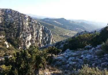
Les Alpilles pas de l aigle


Marche
Moyen
(2)
Saint-Rémy-de-Provence,
Provence-Alpes-Côte d'Azur,
Bouches-du-Rhône,
France

10,3 km | 14 km-effort
3h 44min
Oui
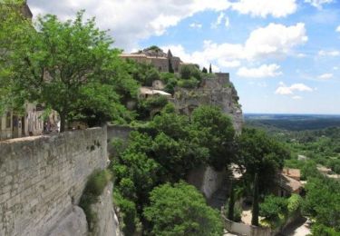
Les Baux de Provence


V.T.T.
Difficile
(1)
Saint-Rémy-de-Provence,
Provence-Alpes-Côte d'Azur,
Bouches-du-Rhône,
France

24 km | 30 km-effort
3h 0min
Oui
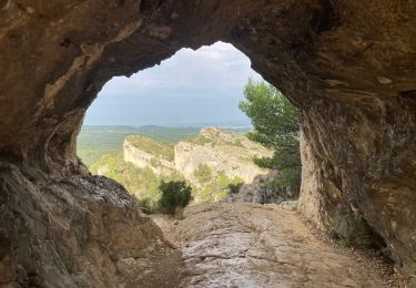
Gaussier, Peiroou et les 2 trous


Marche
Difficile
(1)
Saint-Rémy-de-Provence,
Provence-Alpes-Côte d'Azur,
Bouches-du-Rhône,
France

10,3 km | 15,8 km-effort
3h 34min
Oui
VTT des lunettes de Van Gogh


V.T.T.
Moyen
Saint-Rémy-de-Provence,
Provence-Alpes-Côte d'Azur,
Bouches-du-Rhône,
France

16 km | 22 km-effort
1h 29min
Oui
De saint Remy au baux de Provence .


V.T.T.
Difficile
(1)
Saint-Rémy-de-Provence,
Provence-Alpes-Côte d'Azur,
Bouches-du-Rhône,
France

24 km | 31 km-effort
2h 9min
Non

Maussane mais qu’est-ce que tu fais


Attelage
(1)
Saint-Rémy-de-Provence,
Provence-Alpes-Côte d'Azur,
Bouches-du-Rhône,
France

16,9 km | 22 km-effort
2h 58min
Oui
St rémy de Provence mont gaussien les 2 trous


Marche
Moyen
(2)
Saint-Rémy-de-Provence,
Provence-Alpes-Côte d'Azur,
Bouches-du-Rhône,
France

5,9 km | 10,4 km-effort
4h 29min
Non


 SityTrail


