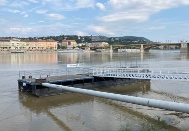
3,1 km | 4,2 km-effort
Budapest aéroport
DUPORT16
Utilisateur
Longueur
21 km
Altitude max
151 m
Dénivelé positif
163 m
Km-Effort
23 km
Altitude min
104 m
Dénivelé négatif
121 m
Boucle
Non
Date de création :
2024-11-15 10:45:03.568
Dernière modification :
2024-11-15 17:08:03.93
46m
Difficulté : Très facile
Application GPS de randonnée GRATUITE
À propos
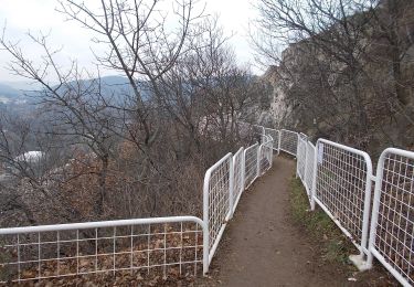
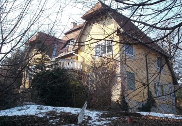
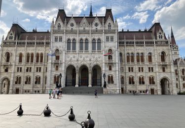
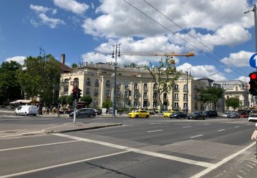
Randonnée Voiture de 21 km à découvrir à Hongrie centrale, Budapest, Inconnu. Cette randonnée est proposée par DUPORT16.
Localisation
Pays :
Hongrie
Région :
Hongrie centrale
Département/Province :
Budapest
Commune :
Inconnu
Localité :
V. kerület
Départ:(Dec)
Départ:(UTM)
353579 ; 5262228 (34T) N.
Commentaires
Randonnées à proximité
K+ (Remete-hegyi-nyereg - Mátyás-hegy - Katinyi mártírok parkja, vill. mh.)
A pied
Facile
Inconnu,
Hongrie centrale,
Budapest,
Hongrie
57min
Non
Z▲ (Nagybányai lépcső - Ferenc-hegy - Kavics utca, vill. mh.)
A pied
Facile
Inconnu,
Hongrie centrale,
Budapest,
Hongrie
5,4 km | 7,6 km-effort
1h 42min
Non
Z↺ (Görgényi út, autóparkoló - Árpád-kilátó - Görgényi út, autóparkoló)
A pied
Facile
Inconnu,
Hongrie centrale,
Budapest,
Hongrie
4,2 km | 6,2 km-effort
1h 24min
Oui
Budapest Obuda île Marguerite
Marche
Inconnu,
Hongrie centrale,
Budapest,
Hongrie
17,5 km | 20 km-effort
2h 50min
Non
Budapest vélotourisme
Cyclotourisme
Facile
Inconnu,
Hongrie centrale,
Budapest,
Hongrie
17,8 km | 21 km-effort
3h 30min
Oui
Budapest Chateau-Pont Elisabeth
Marche
Inconnu,
Hongrie centrale,
Budapest,
Hongrie
5,5 km | 7,3 km-effort
1h 35min
Non
Budapest Terézvaros-Lipotvaros
Marche
Inconnu,
Hongrie centrale,
Budapest,
Hongrie
6,6 km | 8,2 km-effort
1h 28min
Oui
Budapest J3
Marche
Facile
Inconnu,
Hongrie centrale,
Budapest,
Hongrie
19,9 km | 24 km-effort
5h 30min
Oui
Budapest J2 Nuit
Marche
Facile
Inconnu,
Hongrie centrale,
Budapest,
Hongrie
26 km | 32 km-effort
6h 36min
Oui