


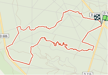

17,3 km | 21 km-effort

Utilisateur


Application GPS de randonnée GRATUITE
 SityTrail
IGN / Instituts géographiques
SityTrail World
Le monde est à vous
Randonnée Marche de 7,5 km à découvrir à Île-de-France, Seine-et-Marne, Fontainebleau. Cette randonnée est proposée par Delmasjacques.
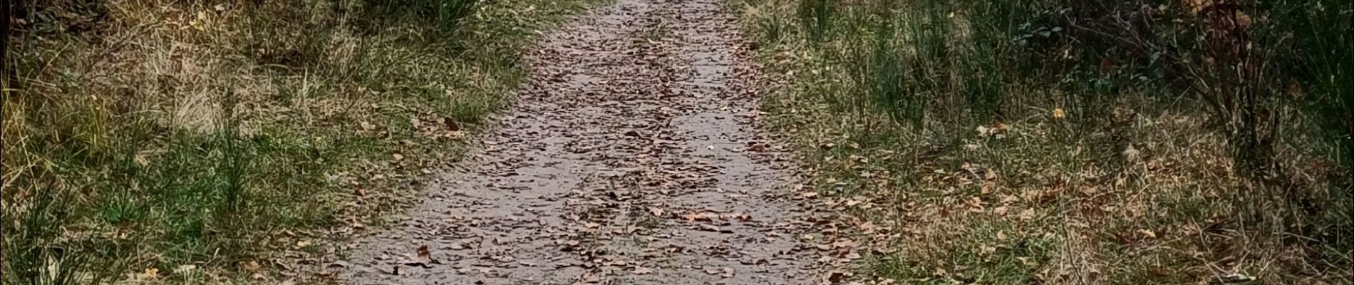
petite randonnée dans les rochers de Cassepot,suivie d'une partie sentiers bleue N°15 de samois. Attention glissant en périodes humides.


Marche

Marche

Marche

Marche

A pied

Marche

A pied

Marche

Marche