


20 km | 25 km-effort

Utilisateur GUIDE


Application GPS de randonnée GRATUITE
 SityTrail
IGN / Instituts géographiques
SityTrail World
Le monde est à vous
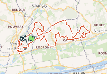
Randonnée Marche de 27 km à découvrir à Centre-Val de Loire, Indre-et-Loire, Vernou-sur-Brenne. Cette randonnée est proposée par Orcal37.
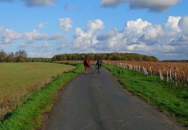
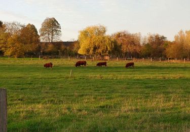
Vernou-sur-Brenne la Coudraie - Zig Zag - Vaubrault (Nazelles-Négron) - Noizay - 27.1km 385m 5h55 (55mn) - 2024 11 03
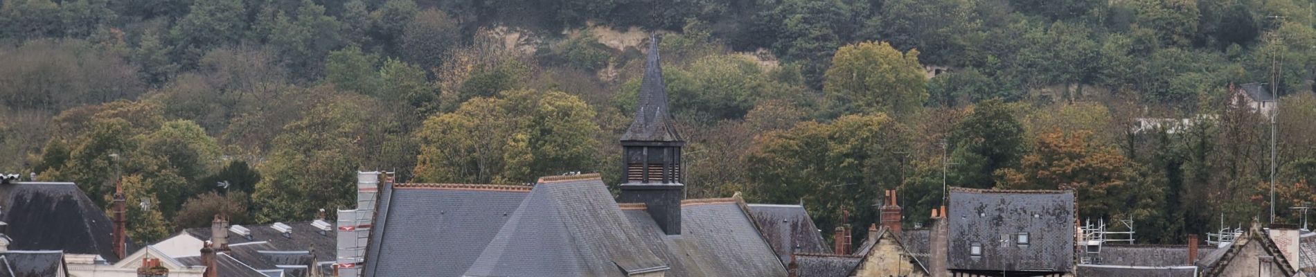
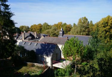
 - 2024 11 03 - Photo 1")
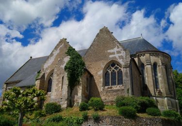
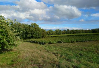
 - 2024 11 03 - Photo 2")
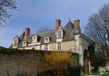
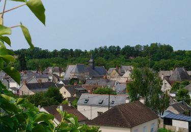
 - 2024 11 03 - Photo 3")
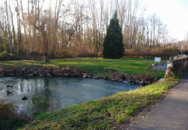
 - 2024 11 03 - Photo 4")
 - 2024 11 03 - Photo 5")
 - 2024 11 03 - Photo 6")
 - 2024 11 03 - Photo 7")
 - 2024 11 03 - Photo 8")
 - 2024 11 03 - Photo 9")
 - 2024 11 03 - Photo 10")
 - 2024 11 03 - Photo 11")
 - 2024 11 03 - Photo 12")
 - 2024 11 03 - Photo 13")
Marche
Marche
Marche
Marche
Marche

Cyclotourisme
Marche
Marche
Marche