


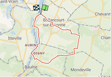

16 km | 17,9 km-effort

Utilisateur GUIDE


Application GPS de randonnée GRATUITE
 SityTrail
IGN / Instituts géographiques
SityTrail World
Le monde est à vous
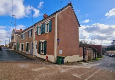
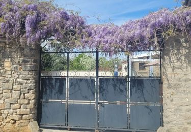
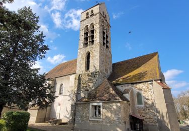
Randonnée Marche de 14,8 km à découvrir à Île-de-France, Essonne, Ballancourt-sur-Essonne. Cette randonnée est proposée par jeanmarcMasson.
Départ de la gare de Ballancourt
Pique-Nique dans cabane de chasseurs à 7,5 km
Passage auprès des Roches du Père la Musique à environ 12 km


Marche

Marche
A pied
Marche

Marche
A pied
A pied
A pied

A pied