


13,8 km | 15,1 km-effort

Utilisateur


Application GPS de randonnée GRATUITE
 SityTrail
IGN / Instituts géographiques
SityTrail World
Le monde est à vous
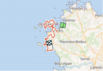
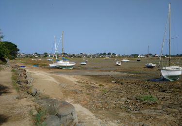
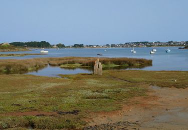
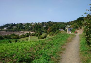
Randonnée Marche de 19,6 km à découvrir à Bretagne, Côtes-d'Armor, Pleumeur-Bodou. Cette randonnée est proposée par patrickdanilo.
Randonnée Marche de 19,6 km à découvrir à Bretagne, Côtes-d'Armor, Pleumeur-Bodou. Cette randonnée est proposée par patrickdanilo.


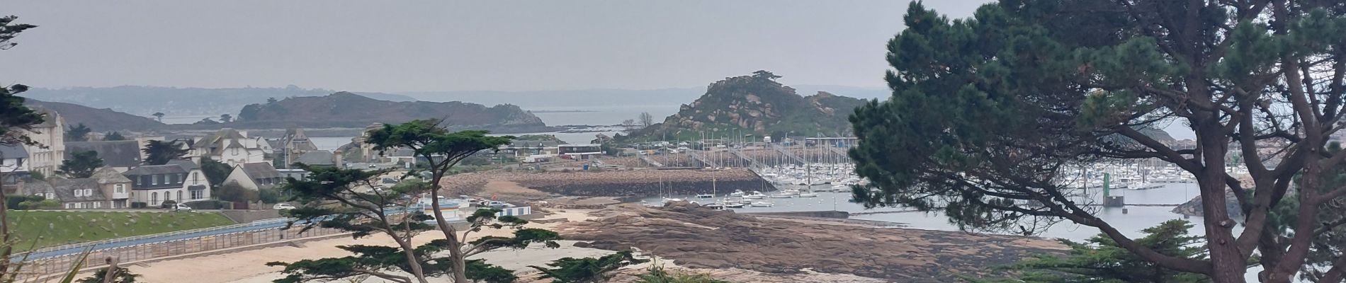
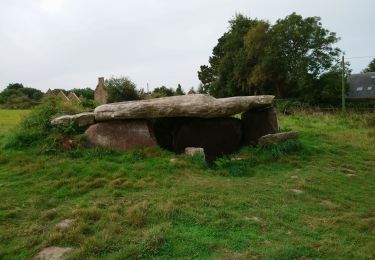
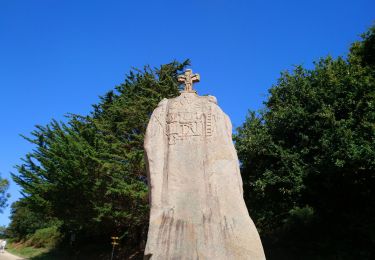
25 photos au total. Cliquez sur une photo pour les afficher toutes dans la galerie.

Marche

Marche
Marche

Marche
Marche
Marche
Marche

Marche
Marche