


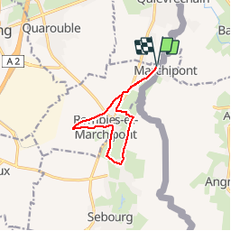

8 km | 9,4 km-effort


Utilisateur


Application GPS de randonnée GRATUITE
 SityTrail
IGN / Instituts géographiques
SityTrail World
Le monde est à vous
Randonnée Marche de 9 km à découvrir à Hauts-de-France, Nord, Rombies-et-Marchipont. Cette randonnée est proposée par rmc59.
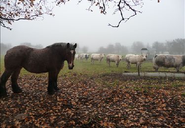
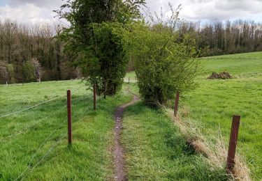
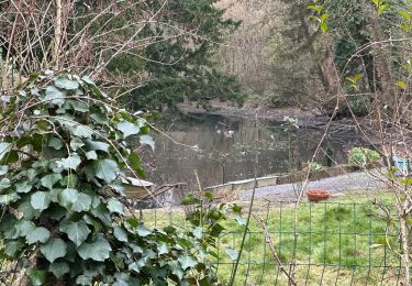
Promenade campagnarde où les chapelles et les églises nous apprennent un morceau de l’histoire des villages traversés. Le long des chemins, se détachent de beaux panoramas sur la campagne boisée et la vallée de l’Aunelle. Sans difficulté particulière.
Marche
Marche
Marche

A pied

Quad

Marche
Marche
Marche
Marche