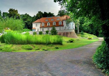
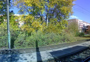
3,4 km | 4,3 km-effort
06.09.2024 Berlin
werth
Utilisateur
Longueur
33 km
Altitude max
71 m
Dénivelé positif
309 m
Km-Effort
38 km
Altitude min
18 m
Dénivelé négatif
328 m
Boucle
Non
Date de création :
2024-09-06 09:31:38.787
Dernière modification :
2024-10-29 10:53:02.366
5h59
Difficulté : Moyen
Application GPS de randonnée GRATUITE
À propos
Randonnée Cyclotourisme de 33 km à découvrir à Berlin, Inconnu, Inconnu. Cette randonnée est proposée par werth.
Localisation
Pays :
Allemagne
Région :
Berlin
Département/Province :
Inconnu
Commune :
Inconnu
Localité :
Charlottenburg-Wilmersdorf
Départ:(Dec)
Départ:(UTM)
384050 ; 5819326 (33U) N.
Commentaires
Randonnées à proximité
Inforoute Platte & Co. (Gesamt)
A pied
Facile
Inconnu,
Berlin,
Inconnu,
Allemagne
4,5 km | 5,1 km-effort
1h 8min
Non
Inforoute Platte & Co.
A pied
Facile
Inconnu,
Berlin,
Inconnu,
Allemagne
4,5 km | 5 km-effort
1h 8min
Non
Rundwanderweg Eichwerder Moorwiesen
A pied
Facile
Glienicke/Nordbahn,
Brandebourg,
Oberhavel,
Allemagne
6,5 km | 7,2 km-effort
1h 38min
Oui
BUGA 2001
A pied
Facile
Stahnsdorf,
Brandebourg,
Potsdam-Mittelmark,
Allemagne
5,5 km | 6,1 km-effort
1h 22min
Non
Gelber Balken - IVV-Wanderweg 3
A pied
Facile
,
Brandebourg,
Potsdam,
Allemagne
5,2 km | 6 km-effort
1h 22min
Non
Rundweg um Wilhelmshorst
A pied
Facile
Michendorf,
Brandebourg,
Potsdam-Mittelmark,
Allemagne
8,6 km | 9,8 km-effort
2h 13min
Oui
Wanderweg zum Kirchsteigfeld
A pied
Facile
,
Brandebourg,
Potsdam,
Allemagne
4,3 km | 4,6 km-effort
1h 2min
Non