


26 km | 31 km-effort

Utilisateur GUIDE


Application GPS de randonnée GRATUITE
 SityTrail
IGN / Instituts géographiques
SityTrail World
Le monde est à vous
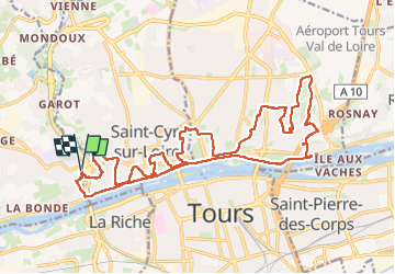
Randonnée Marche de 23 km à découvrir à Centre-Val de Loire, Indre-et-Loire, Fondettes. Cette randonnée est proposée par Orcal37.
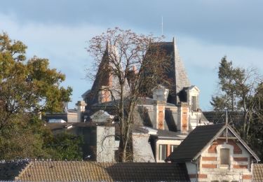
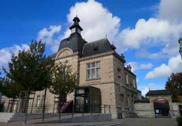
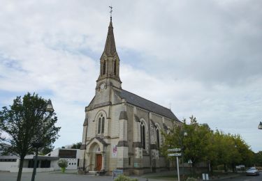
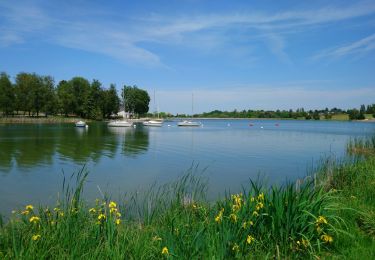
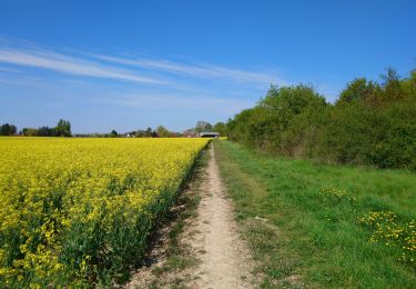
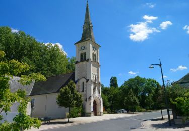
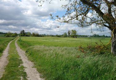
Fondettes Gare - Saint-Cyr-sur-Loire - Tours Nord - via circuits pédestres - 23.4km 345m 5h10 (40mn) - 2024 10 27
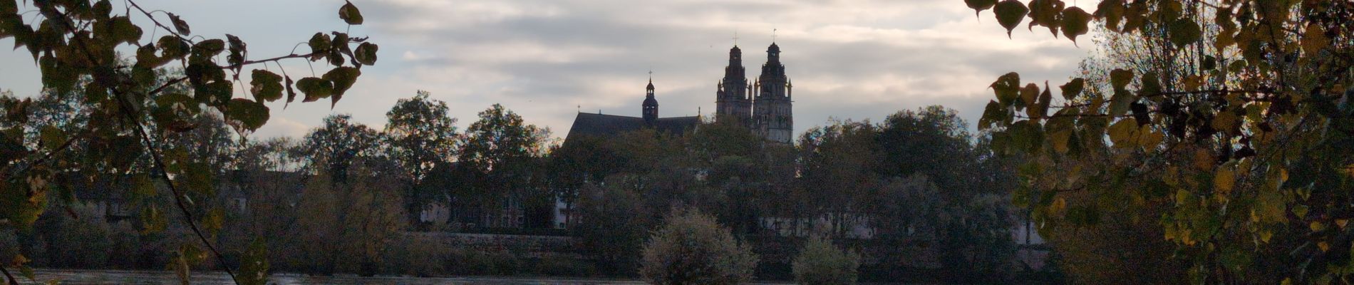
 - 2024 10 27 - Photo 1")
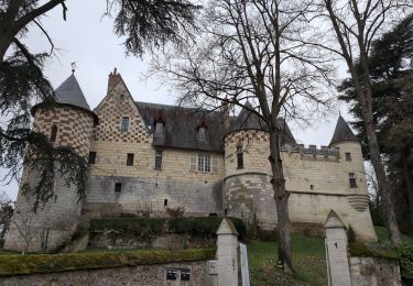
 - 2024 10 27 - Photo 2")
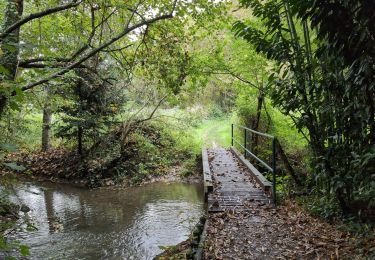
 - 2024 10 27 - Photo 3")
 - 2024 10 27 - Photo 4")
 - 2024 10 27 - Photo 5")
 - 2024 10 27 - Photo 6")
 - 2024 10 27 - Photo 7")
 - 2024 10 27 - Photo 8")
 - 2024 10 27 - Photo 9")
 - 2024 10 27 - Photo 10")
 - 2024 10 27 - Photo 11")
 - 2024 10 27 - Photo 12")
 - 2024 10 27 - Photo 13")
 - 2024 10 27 - Photo 14")
 - 2024 10 27 - Photo 15")
 - 2024 10 27 - Photo 16")
Marche
Marche
Marche
Marche
Marche
Marche
Marche
Marche
Marche