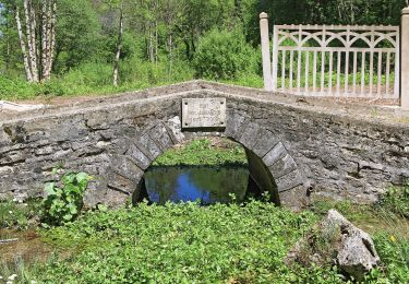
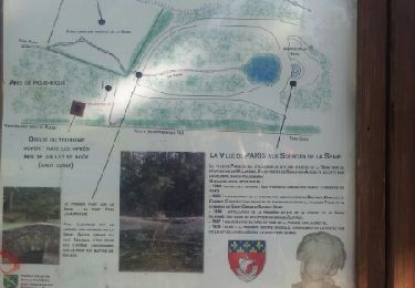
12,8 km | 16,4 km-effort
Source de la Seine
dusty3466
Utilisateur
Longueur
11,8 km
Altitude max
510 m
Dénivelé positif
228 m
Km-Effort
14,8 km
Altitude min
416 m
Dénivelé négatif
221 m
Boucle
Oui
Date de création :
2024-10-19 11:34:16.368
Dernière modification :
2024-10-27 16:37:37.118
2h41
Difficulté : Difficile
Application GPS de randonnée GRATUITE
À propos
Randonnée Marche de 11,8 km à découvrir à Bourgogne-Franche-Comté, Côte-d'Or, Source-Seine. Cette randonnée est proposée par dusty3466.
Localisation
Pays :
France
Région :
Bourgogne-Franche-Comté
Département/Province :
Côte-d'Or
Commune :
Source-Seine
Localité :
Unknown
Départ:(Dec)
Départ:(UTM)
629268 ; 5260691 (31T) N.
Commentaires
Randonnées à proximité
Sentier des Source de l'Ignon
A pied
Facile
Poncey-sur-l'Ignon,
Bourgogne-Franche-Comté,
Côte-d'Or,
France
3h 44min
Oui
Promenade Source-Seine
A pied
Facile
Source-Seine,
Bourgogne-Franche-Comté,
Côte-d'Or,
France
11,3 km | 14 km-effort
3h 11min
Oui
Promenade à Source Seine 11.3km et 220m déniv
Marche
Difficile
Source-Seine,
Bourgogne-Franche-Comté,
Côte-d'Or,
France
11,4 km | 14,3 km-effort
3h 14min
Oui
Les deux sources
Marche
Difficile
Poncey-sur-l'Ignon,
Bourgogne-Franche-Comté,
Côte-d'Or,
France
10,3 km | 12,9 km-effort
2h 56min
Oui
Autour des sources du l'Ignon
Marche
Facile
Champagny,
Bourgogne-Franche-Comté,
Côte-d'Or,
France
9,9 km | 13,2 km-effort
2h 28min
Oui
Sourve de la Seine
Marche
Très facile
Source-Seine,
Bourgogne-Franche-Comté,
Côte-d'Or,
France
24 km | 31 km-effort
7h 30min
Oui
7_4_24
Marche
Très difficile
Pellerey,
Bourgogne-Franche-Comté,
Côte-d'Or,
France
21 km | 27 km-effort
8h 46min
Oui
Champagny GR2
Marche
Très difficile
Champagny,
Bourgogne-Franche-Comté,
Côte-d'Or,
France
16,9 km | 22 km-effort
5h 2min
Non
poncey sur lignon
Marche
Difficile
Poncey-sur-l'Ignon,
Bourgogne-Franche-Comté,
Côte-d'Or,
France
15 km | 19,1 km-effort
5h 34min
Non