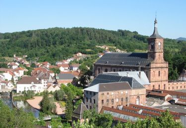
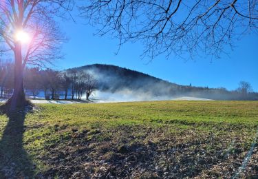
20 km | 28 km-effort
Chez Manu saint jean d’ormont
raline
Utilisateur GUIDE
Longueur
20 km
Altitude max
578 m
Dénivelé positif
602 m
Km-Effort
28 km
Altitude min
375 m
Dénivelé négatif
602 m
Boucle
Oui
Date de création :
2024-10-24 11:44:48.0
Dernière modification :
2024-10-25 17:49:37.283
3h41
Difficulté : Moyen
Application GPS de randonnée GRATUITE
À propos
Randonnée Randonnée équestre de 20 km à découvrir à Grand Est, Vosges, Moyenmoutier. Cette randonnée est proposée par raline.
Localisation
Pays :
France
Région :
Grand Est
Département/Province :
Vosges
Commune :
Moyenmoutier
Localité :
Unknown
Départ:(Dec)
Départ:(UTM)
347541 ; 5358812 (32U) N.
Commentaires
Randonnées à proximité
vtt la voivre La Bure 29-03-19
V.T.T.
Difficile
(2)
Saint-Dié-des-Vosges,
Grand Est,
Vosges,
France
2h 48min
Oui
roche de la mère henry
Marche
Facile
(1)
Senones,
Grand Est,
Vosges,
France
9,6 km | 13,3 km-effort
2h 46min
Non
Circuit LB ban_de_sapt-climont2
Randonnée équestre
Difficile
(1)
Ban-de-Sapt,
Grand Est,
Vosges,
France
27 km | 39 km-effort
4h 44min
Non
sortie vtt 14042019 Moyenmoutier
V.T.T.
Difficile
Moyenmoutier,
Grand Est,
Vosges,
France
30 km | 43 km-effort
3h 0min
Non
tête du coquin
V.T.T.
Facile
(1)
Moyenmoutier,
Grand Est,
Vosges,
France
34 km | 46 km-effort
3h 33min
Oui
Chez Manu 1ere sortie des jeunes
Randonnée équestre
Facile
Moyenmoutier,
Grand Est,
Vosges,
France
10,6 km | 14,1 km-effort
1h 51min
Oui
Equiplaine senones Christophe
Randonnée équestre
Moyen
Senones,
Grand Est,
Vosges,
France
22 km | 30 km-effort
3h 55min
Oui
Circuit de la Haute Pierre
A pied
Facile
Moyenmoutier,
Grand Est,
Vosges,
France
9,3 km | 14,6 km-effort
3h 18min
Oui
Circuit: Vieux-Moulin - Ortomont Bourg- Menil de Senones- Vieux-Moulin
Marche
Moyen
Vieux-Moulin,
Grand Est,
Vosges,
France
7,9 km | 11,3 km-effort
2h 33min
Oui