


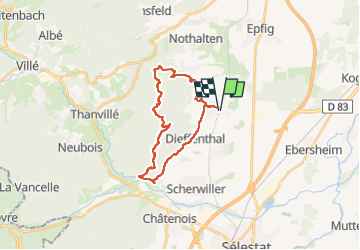

13 km | 18,5 km-effort


Utilisateur


Application GPS de randonnée GRATUITE
 SityTrail
IGN / Instituts géographiques
SityTrail World
Le monde est à vous
Randonnée Randonnée équestre de 23 km à découvrir à Grand Est, Bas-Rhin, Dambach-la-Ville. Cette randonnée est proposée par anniston.
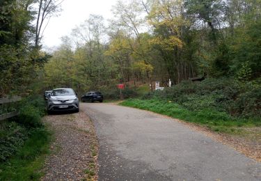
Ne pas prendre le sentier rond rouge entre l'Ortenbourg et la Huenelmuhl, sentier très difficile à cheval (escaliers et rochers)

Marche

Marche

Marche

Marche
Randonnée équestre
Marche
Marche
Trail
Marche