


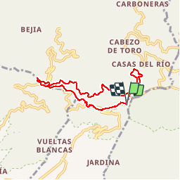

10,8 km | 21 km-effort


Utilisateur


Application GPS de randonnée GRATUITE
 SityTrail
IGN / Instituts géographiques
SityTrail World
Le monde est à vous
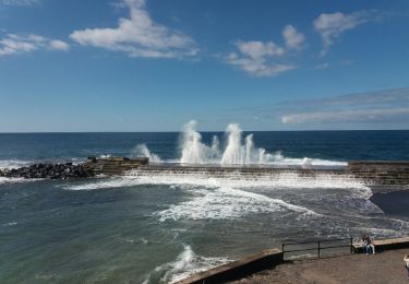
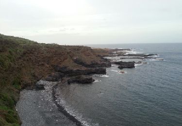
Randonnée Marche de 9,4 km à découvrir à Îles Canaries, Santa Cruz de Ténérife, San Cristóbal de La Laguna. Cette randonnée est proposée par genevieve.
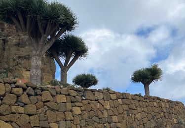
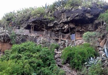
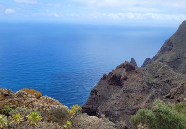
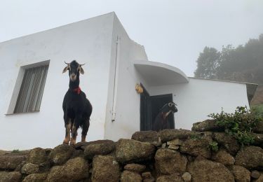
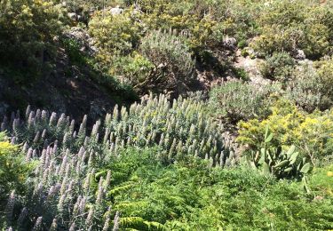
Foret primaire avec des pissenlits géants, et autres curiosités.
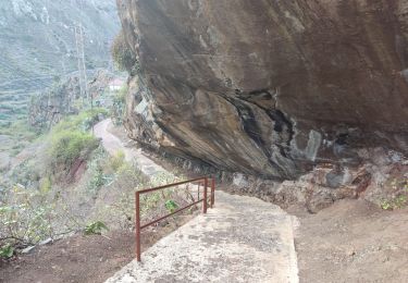
Randonnée facile et avec de nombreux chemins balisés.


Marche
A pied
A pied
Marche
Marche
Marche
A pied
Marche
Marche
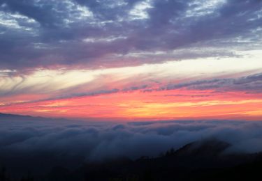
Dommage qu'il n'y ait pas quelques points de vue