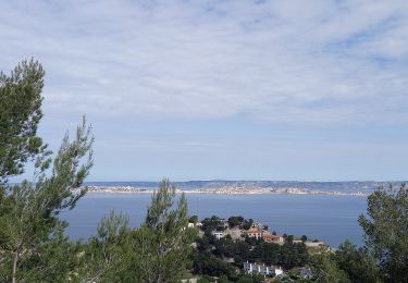
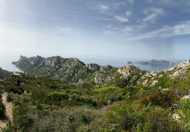
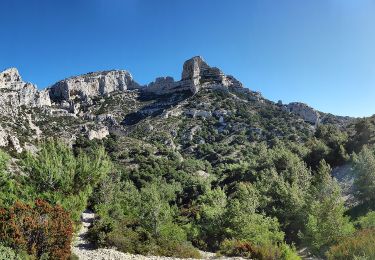
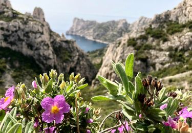
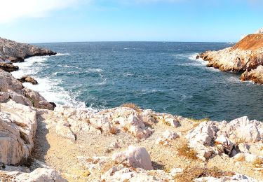
28 km | 35 km-effort
marseilleveyre_du_14102024_by_les_immortelles-20084654-1729065029-214
Eric Go
Utilisateur
Longueur
8,8 km
Altitude max
417 m
Dénivelé positif
464 m
Km-Effort
15 km
Altitude min
7 m
Dénivelé négatif
465 m
Boucle
Oui
Date de création :
2024-10-16 07:52:27.064
Dernière modification :
2024-10-16 07:52:27.064
Application GPS de randonnée GRATUITE
À propos
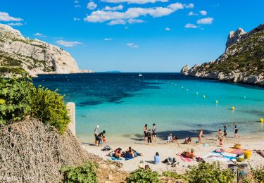
Randonnée de 8,8 km à découvrir à Provence-Alpes-Côte d'Azur, Bouches-du-Rhône, Marseille. Cette randonnée est proposée par Eric Go.
Localisation
Pays :
France
Région :
Provence-Alpes-Côte d'Azur
Département/Province :
Bouches-du-Rhône
Commune :
Marseille
Localité :
8e Arrondissement
Départ:(Dec)
Départ:(UTM)
690821 ; 4787208 (31T) N.
Commentaires
Randonnées à proximité
Trilogie des Calanques version courte
V.T.T.
Difficile
(1)
Marseille,
Provence-Alpes-Côte d'Azur,
Bouches-du-Rhône,
France
3h 30min
Oui
Marseilleveyre
Marche
Très difficile
Marseille,
Provence-Alpes-Côte d'Azur,
Bouches-du-Rhône,
France
13,8 km | 23 km-effort
6h 7min
Oui
FR-4
A pied
Facile
Marseille,
Provence-Alpes-Côte d'Azur,
Bouches-du-Rhône,
France
4 km | 7,3 km-effort
1h 39min
Non
FR-1
A pied
Facile
Marseille,
Provence-Alpes-Côte d'Azur,
Bouches-du-Rhône,
France
3,4 km | 5,8 km-effort
1h 18min
Non
FR-1
A pied
Facile
(1)
Marseille,
Provence-Alpes-Côte d'Azur,
Bouches-du-Rhône,
France
7,2 km | 12,8 km-effort
2h 54min
Non
FR-1
A pied
Facile
Marseille,
Provence-Alpes-Côte d'Azur,
Bouches-du-Rhône,
France
3 km | 7,1 km-effort
1h 37min
Non
FR-1
A pied
Facile
Marseille,
Provence-Alpes-Côte d'Azur,
Bouches-du-Rhône,
France
6,3 km | 13,2 km-effort
3h 0min
Non
FR-2
A pied
Facile
Marseille,
Provence-Alpes-Côte d'Azur,
Bouches-du-Rhône,
France
5,4 km | 9 km-effort
2h 3min
Non
FR-2
A pied
Facile
Marseille,
Provence-Alpes-Côte d'Azur,
Bouches-du-Rhône,
France
7,8 km | 12,8 km-effort
2h 54min
Non