


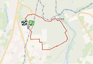

8,7 km | 10,9 km-effort

Utilisateur


Application GPS de randonnée GRATUITE
 SityTrail
IGN / Instituts géographiques
SityTrail World
Le monde est à vous
Randonnée Marche de 7,2 km à découvrir à Wallonie, Hainaut, Lobbes. Cette randonnée est proposée par ELISECRO.
marche en majorité par des sentiers boisés....à Hourpes, découverte d'un mini village jadis prospère grâce à la sidérurgie.... retour vers le Relais de la Haute Sambre
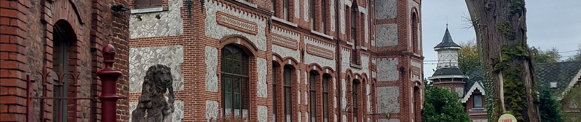
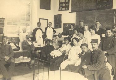
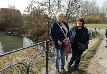
 dép RHS - Photo 1")
 dép RHS - Photo 2")
 dép RHS - Photo 3")
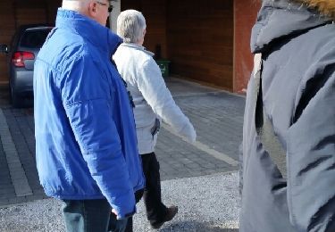
 dép RHS - Photo 4")
 dép RHS - Photo 5")

Marche

Marche

Marche

Marche

Marche

Marche
Marche
Marche
Marche