


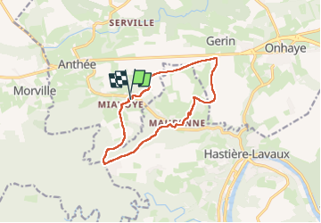

10,8 km | 13,8 km-effort

Utilisateur GUIDE


Application GPS de randonnée GRATUITE
 SityTrail
IGN / Instituts géographiques
SityTrail World
Le monde est à vous
Randonnée Marche de 11,2 km à découvrir à Wallonie, Namur, Onhaye. Cette randonnée est proposée par Desrumaux.
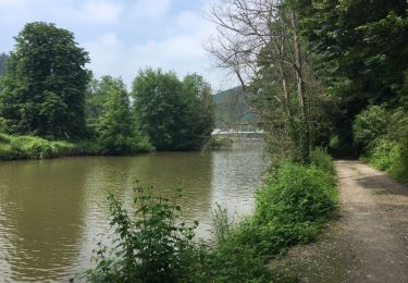
Jolie balade au départ du hameau de Miavoye commune de Onhaye vers le hameau de Maurenne commune de Hastière par le vallon de Féron.
Départ parking du complexe sportif de Miavoye


Marche

Marche

Marche
Marche

Marche

Marche

Marche
Marche