

Hartmannswillerkopf - Circuit découverte

VacheKiri67
Utilisateur

Longueur
3,6 km

Altitude max
952 m

Dénivelé positif
118 m

Km-Effort
5,2 km

Altitude min
880 m

Dénivelé négatif
116 m
Boucle
Oui
Date de création :
2015-05-17 00:00:00.0
Dernière modification :
2015-05-17 00:00:00.0
1h46
Difficulté : Facile

Application GPS de randonnée GRATUITE
À propos
Randonnée Marche de 3,6 km à découvrir à Grand Est, Haut-Rhin, Soultz-Haut-Rhin. Cette randonnée est proposée par VacheKiri67.
Description
Faite le 17/05/2015 avec notre fils de 10 ans. Nous l'avons ensuite couplée avec un second tour en empruntant l'anneau bleu.
Localisation
Pays :
France
Région :
Grand Est
Département/Province :
Haut-Rhin
Commune :
Soultz-Haut-Rhin
Localité :
Unknown
Départ:(Dec)
Départ:(UTM)
361590 ; 5302255 (32T) N.
Commentaires
Randonnées à proximité

Hartmannswillerkopf - Circuit anneau bleu


Marche
Moyen
(1)
Soultz-Haut-Rhin,
Grand Est,
Haut-Rhin,
France

3,7 km | 5,9 km-effort
1h 37min
Oui
lac du ballon


Autre activité
Très facile
(1)
Steinbach,
Grand Est,
Haut-Rhin,
France

33 km | 64 km-effort
5h 1min
Non
Cascade de Erzenbach


Marche
Moyen
Steinbach,
Grand Est,
Haut-Rhin,
France

6 km | 8,8 km-effort
1h 32min
Oui
Firstacker - Willer sur Thur


A pied
Facile
Goldbach-Altenbach,
Grand Est,
Haut-Rhin,
France

7,4 km | 9,6 km-effort
2h 11min
Non

The History Ultra - Stage 1


Trail
Très facile
(1)
Wattwiller,
Grand Est,
Haut-Rhin,
France

28 km | 48 km-effort
Inconnu
Non

Bitschwiller les Thann - Rehbrunnel - Abri du Becherkopf - Roche Albert


A pied
Moyen
(1)
Bitschwiller-lès-Thann,
Grand Est,
Haut-Rhin,
France

10,3 km | 16,4 km-effort
Inconnu
Oui

Molkenrain 1


Marche
Difficile
(1)
Uffholtz,
Grand Est,
Haut-Rhin,
France

15,4 km | 26 km-effort
4h 0min
Oui
Rando Retrouvailles...01/03/2024.par Jean Marc


Marche
Très difficile
Jungholtz,
Grand Est,
Haut-Rhin,
France

11,3 km | 19,2 km-effort
1h 35min
Oui
Rando CLAS du 02/11/2023


Marche
Très difficile
Steinbach,
Grand Est,
Haut-Rhin,
France

17,7 km | 27 km-effort
4h 35min
Oui


 SityTrail


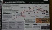
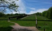
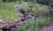

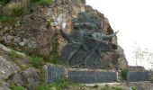
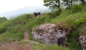
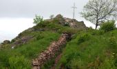
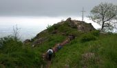
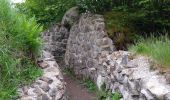
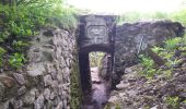
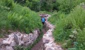
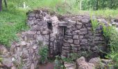
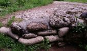
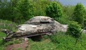
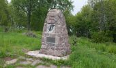

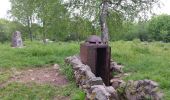
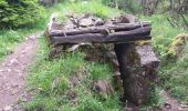
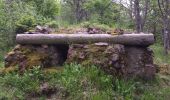
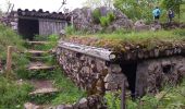


Parcours de mémoire très instructif.