


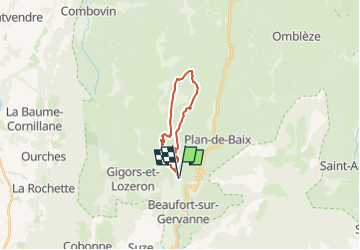

11 km | 18,1 km-effort


Utilisateur


Application GPS de randonnée GRATUITE
 SityTrail
IGN / Instituts géographiques
SityTrail World
Le monde est à vous
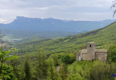
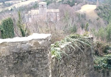
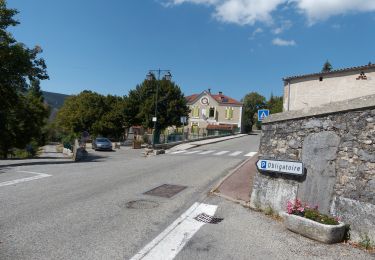
Randonnée Marche de 15,2 km à découvrir à Auvergne-Rhône-Alpes, Drôme, Gigors-et-Lozeron. Cette randonnée est proposée par Danielle07.
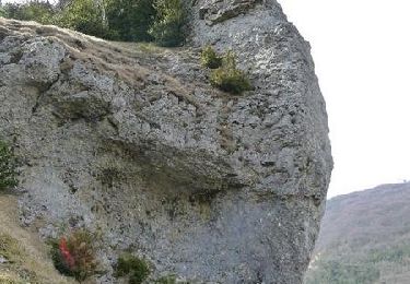
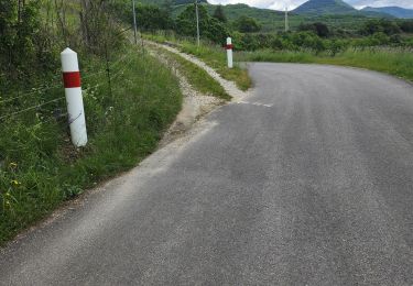
le début du sentier descendant vers combe noire est envahi par les ronces mais ça passe bien et la combe est très belle, suivre les cairns.
Marche
Marche

Marche

Marche

Marche
Marche

Marche
Marche
Marche