![](/images/other/stat-length.png)
![Randonnée Randonnée équestre Obersteinbach - 2024-10-01 Rando CVA Palatinat Obersteinbach Lampertsloch - Photo](https://media.geolcdn.com/t/1900/400/7049fffa-9fd0-4a27-8d60-6425b502499f.jpg&format=pjpeg&maxdim=2)
2024-10-01 Rando CVA Palatinat Obersteinbach Lampertsloch
holtzv
Utilisateur GUIDE
![Longueur](/images/other/stat-length.png)
![Altitude max](https://static1.geolcdn.com/siteimages/upload/files/1508320355ic_sort_altitude_max_24dp.png)
![Dénivelé positif](https://static1.geolcdn.com/siteimages/upload/files/1508320355ic_sort_den_pos_24dp.png)
![Km-Effort](/images/other/stat-length.png)
![Altitude min](https://static1.geolcdn.com/siteimages/upload/files/1508320355ic_sort_altitude_min_24dp.png)
![Dénivelé négatif](https://static1.geolcdn.com/siteimages/upload/files/1508320355ic_sort_den_neg_24dp.png)
![Boucle](https://static1.geolcdn.com/siteimages/upload/files/16400158638029165_repeat_loop_refresh_sync_direction_icon.png)
![Randonnée équestre](https://static1.geolcdn.com/sitytour/trail-icons/301.png)
5h16
Difficulté : Difficile
![Scannez ce code QR pour ouvrir la randonnée dans l'application SityTrail](https://capi.geolives.com/qq0zvz2zws4bq2lad0pu/sitytour/trails/4218579/qr.png?size=200)
Application GPS de randonnée GRATUITE
À propos
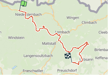
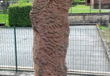
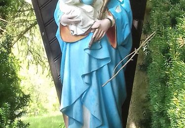
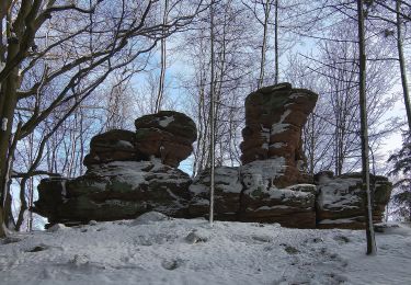
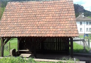
Randonnée Randonnée équestre de 30 km à découvrir à Grand Est, Bas-Rhin, Obersteinbach. Cette randonnée est proposée par holtzv.
Description
Rando CVA Palatinat : Jour 5 sur 6
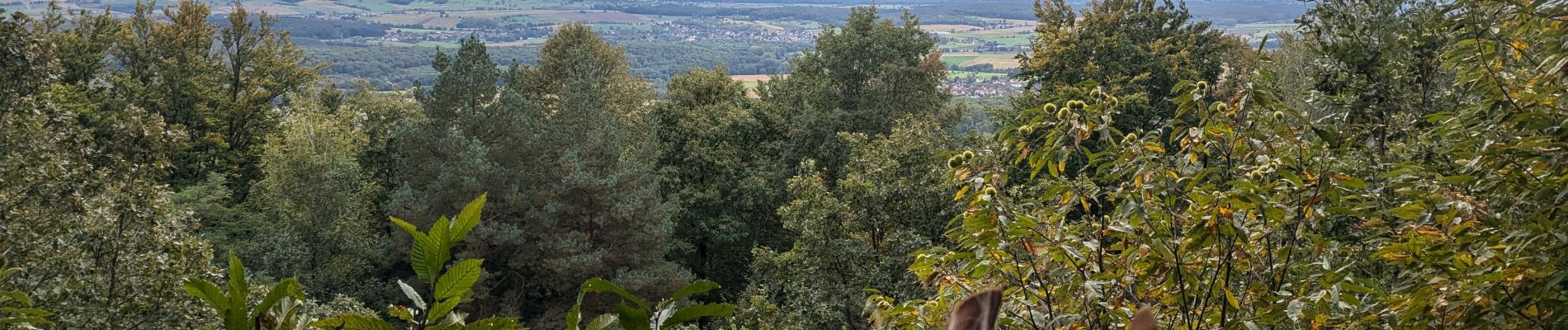
Journée à cheval d’Obersteinbach vers Lampertsloch en passant par la forêt de La Verrerie, une autre forêt privée où il faut demander le droit de passage au Comte Jérôme de Pourtales. Pause repas aux écuries du Flecken avant de repartir par le Soultzerkopf et sa belle vue et l’auberge des 7 fontaines pour une pause 16h.
Localisation
Commentaires
Randonnées à proximité
![Randonnée Marche Lembach - Fleckenstein, circuit des 5 châteaux. - Photo](https://media.geolcdn.com/t/375/260/ext.jpg?maxdim=2&url=https%3A%2F%2Fservices.sitytrail.com%2FGeolivesWS%2FDownloadMedia.ashx%3FTrailID%3D364388%26Media%3Dfix__20141120164801.jpg)
![Marche Marche](https://static1.geolcdn.com/sitytour/trail-icons/101.png)
Marche
![](/images/other/stat-length.png)
![](https://static1.geolcdn.com/siteimages/upload/files/16400158638029165_repeat_loop_refresh_sync_direction_icon.png)
![Randonnée Randonnée équestre Obersteinbach - 2024-09-30 Rando CVA Palatinat Obersteinbach Wineck Windstein Wasigenstein - Photo](https://media.geolcdn.com/t/375/260/a81589e8-b3fb-4376-a4c5-155adc86d091.jpg&format=jpg&maxdim=2)
![Randonnée équestre Randonnée équestre](https://static1.geolcdn.com/sitytour/trail-icons/301.png)
Randonnée équestre
![](/images/other/stat-length.png)
![](https://static1.geolcdn.com/siteimages/upload/files/16400158638029165_repeat_loop_refresh_sync_direction_icon.png)
![Randonnée Randonnée équestre Schönau (Pfalz) - 2024-09-29 Rando CVA Palatinat Gebug Obersteinbach - Photo](https://media.geolcdn.com/t/375/260/8b46bdbb-d46a-437e-9444-a15a461aae7b.jpg&format=jpg&maxdim=2)
![Randonnée équestre Randonnée équestre](https://static1.geolcdn.com/sitytour/trail-icons/301.png)
Randonnée équestre
![](/images/other/stat-length.png)
![](https://static1.geolcdn.com/siteimages/upload/files/16400158638029165_repeat_loop_refresh_sync_direction_icon.png)
![Randonnée A pied Lembach - Anneau bleu - Photo](https://media.geolcdn.com/t/375/260/704edbc3-db60-4c8d-8509-777a0364a0c0.jpeg&format=jpg&maxdim=2)
![A pied A pied](https://static1.geolcdn.com/sitytour/trail-icons/100.png)
![Randonnée A pied Niedersteinbach - Losange jaune - Photo](https://media.geolcdn.com/t/375/260/9750e9c7-d771-48fb-9dc8-91b6e4088834.jpeg&format=jpg&maxdim=2)
![A pied A pied](https://static1.geolcdn.com/sitytour/trail-icons/100.png)
A pied
![](/images/other/stat-length.png)
![](https://static1.geolcdn.com/siteimages/upload/files/16400158638029165_repeat_loop_refresh_sync_direction_icon.png)
![Randonnée A pied Niedersteinbach - Anneau bleu - Photo](https://media.geolcdn.com/t/375/260/2ce4a169-1183-4834-953e-6328c36b8057.jpeg&format=jpg&maxdim=2)
![A pied A pied](https://static1.geolcdn.com/sitytour/trail-icons/100.png)
A pied
![](/images/other/stat-length.png)
![](https://static1.geolcdn.com/siteimages/upload/files/16400158638029165_repeat_loop_refresh_sync_direction_icon.png)
![Randonnée A pied Niedersteinbach - Anneau jaune - Photo](https://media.geolcdn.com/t/375/260/864ec68b-7e8c-46d6-8de7-bd04be428ab9.jpeg&format=jpg&maxdim=2)
![A pied A pied](https://static1.geolcdn.com/sitytour/trail-icons/100.png)
A pied
![](/images/other/stat-length.png)
![](https://static1.geolcdn.com/siteimages/upload/files/16400158638029165_repeat_loop_refresh_sync_direction_icon.png)
![Randonnée A pied Obersteinbach - Anneau jaune - Photo](https://media.geolcdn.com/t/375/260/c13c2c58-10d7-439e-a51f-7bf0b0ed9b4d.jpeg&format=jpg&maxdim=2)
![A pied A pied](https://static1.geolcdn.com/sitytour/trail-icons/100.png)
A pied
![](/images/other/stat-length.png)
![](https://static1.geolcdn.com/siteimages/upload/files/16400158638029165_repeat_loop_refresh_sync_direction_icon.png)
![Randonnée A pied Obersteinbach - Triangle rouge - Photo](https://media.geolcdn.com/t/375/260/fff2d3ea-92b0-447d-8719-9088e8932805.jpeg&format=jpg&maxdim=2)
![A pied A pied](https://static1.geolcdn.com/sitytour/trail-icons/100.png)
A pied
![](/images/other/stat-length.png)
![](https://static1.geolcdn.com/siteimages/upload/files/16400158638029165_repeat_loop_refresh_sync_direction_icon.png)